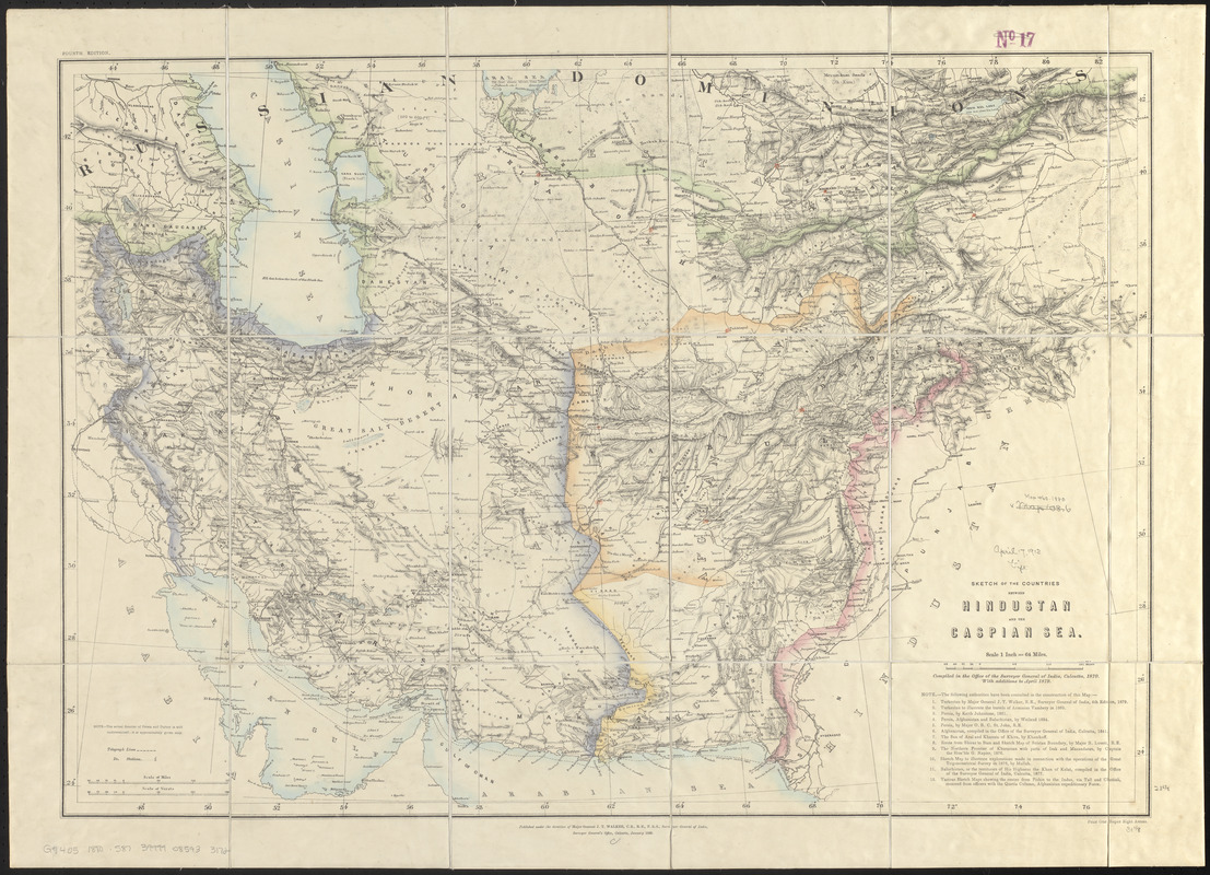
Sketch of the countries between Hindustan and the Caspian Sea
Item Information
- Title:
- Sketch of the countries between Hindustan and the Caspian Sea
- Cartographer:
- Survey of India
- Publisher:
- Survey of India
- Name on Item:
-
compiled in the Office of the Surveyor General of India
- Date:
-
1880
- Format:
-
Maps/Atlases
- Location:
-
Boston Public Library
Norman B. Leventhal Map & Education Center - Collection (local):
-
Norman B. Leventhal Map & Education Center Collection
- Subjects:
-
Asia, Central--Maps
- Places:
-
Central Asia (area)
- Extent:
- 1 map : hand colored ; 57 x 80 cm
- Terms of Use:
-
No known copyright restrictions.
No known restrictions on use.
- Publisher:
-
Calcutta :
Surveyor General's Office
- Edition:
- Fourth edition
- Scale:
-
Scale 1:4,055,040. 1 inch = 64 miles
- Language:
-
English
- Notes:
-
Relief shown by shading.
"With additions to April 1879."
- Identifier:
-
06_01_015225
- Call #:
-
G7405 1880 .S87
- Barcode:
-
39999085933172


