Sketch of Guadalupe Island : west coast of Lower California
Item Information
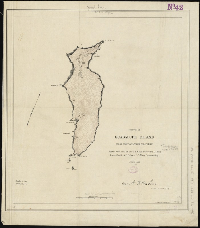
- Title:
- Sketch of Guadalupe Island : west coast of Lower California
- Creator:
- U.S. Coast and Geodetic Survey
- Name on Item:
-
by the officers of the U.S. Coast Survey, Str. Gedney, Lieut. Comdr. A.P. Osborn, U.S. Navy commanding ; C.W. Fitzgerald, draughtsman.
- Date:
-
1897
- Format:
-
Maps/Atlases
- Location:
-
Boston Public Library
Norman B. Leventhal Map & Education Center - Collection (local):
-
Norman B. Leventhal Map & Education Center Collection
- Subjects:
-
Guadalupe Island (Mexico)--Maps
- Places:
-
MexicoBaja CaliforniaGuadalupe, Isla (island)
- Extent:
- 1 map : color ; 40 x 36 cm
- Terms of Use:
-
No known copyright restrictions.
No known restrictions on use.
- Publisher:
-
[Washington, D.C.] :
U.S. Coast Survey,
- Scale:
-
Scale approximately 1:143,000
- Language:
-
English
- Notes:
-
Oriented with north towards the upper right.
Relief shown by contours and spot heights.
- Identifier:
-
06_01_011777
- Call #:
-
G4477.G8 1897 .U82
- Barcode:
-
39999065689125


