Toggle navigation
LMEC Home
Exhibitions
Georeferencing
Tools for Teachers
Collections
My Favorites
Sign Up / Log In
Search
Search the map portal
Map Collection
Map Collection
Map Sets
Search
Search
Search for
Search In
All Fields
Creator
Title
Subject
Place
Search All Digital Collections
Advanced Search
8713 Results
My Search
Start Over
More Like
commonwealth:q524n451d
Remove constraint More Like: commonwealth:q524n451d
Filter your Search
Place
North and Central America
5,934
United States
4,846
Massachusetts
2,079
Europe
1,396
Suffolk (county)
1,046
Boston
1,019
Canada
449
Asia
438
more
Place
»
Topic
Boston (Mass.)--Maps
586
United States--Maps
282
Real property--Massachusetts--Boston--Maps
175
Massachusetts--Maps
162
Landowners--Massachusetts--Boston--Maps
133
North America--Maps--Early works to 1800
112
New England--Maps
102
Europe--Maps
79
more
Topic
»
Date
Date range begin
–
Date range end
Current results range from
1482
to
2023
View distribution
Creator
United States. Hydrographic Office
595
O.H. Bailey & Co
148
Des Barres, Joseph F. W. (Joseph Frederick Wallet), 1722-1824
123
United States. Post Office Dept
120
Ptolemy, 2nd cent
100
Walling, Henry Francis, 1825-1888
94
Jefferys, Thomas, -1771
89
Geological Survey (U.S.)
86
more
Creator
»
Format
Maps/Atlases
8,653
Manuscripts
218
Prints
56
Books
36
Objects/Artifacts
10
Drawings/Illustrations
8
Posters
5
Georeferenced
Yes
870
No
7,843
Collection
Norman B. Leventhal Map & Education Center Collection
8,695
Boston and New England Maps
2,233
Urban Maps
2,023
Maritime Charts and Atlases
1,083
American Revolutionary War-Era Maps
632
Boston Redevelopment Authority Collection
87
Richard H. Brown Revolutionary War Map Collection at Mount Vernon
9
MacLean Collection Map Library
4
more
Collection
»
Available to use
No known restrictions
8,552
Creative Commons license
59
Search Constraints
Sort by relevance
relevance
title
date (asc)
date (desc)
Number of results to display per page
20 per page
10
per page
20
per page
50
per page
100
per page
View results as:
grid view
map view
Search Results
21.
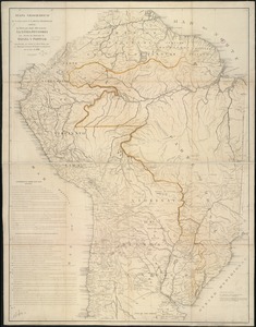
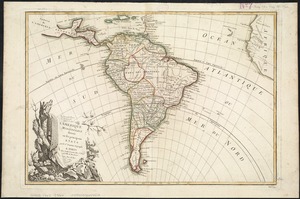
L'Amerique meridionale divisée en ses principaux etats
22.
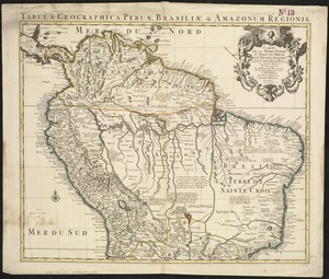
Carte de la Terre Ferme, du Perou, du Bresil et du Pays des Amazones : dressée sur les descriptions de Herrera, de Laet, et...
23.
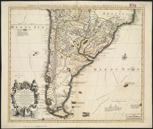
Carte du Paraguay, du Chili, du Detroit de Magellan &c
24.
A chart of the sea coast of Brazil from Cape St. Augustine to the straights of Magellan, & in the South Sea, from the latitud...
25.
Corso del fiume dell Amazon
26.
Guiana sive Amazonum regio
27.
A map of Chili, Patagonia, La Plata and ye south part of Brasil
28.
A map of South America with all the European settlements & whatever else is remarkable, from the latest & best observations
29.
A map of Terra Firma Peru, Amazone-land, Brasil & the north p[art] of La Plata
30.
Mapa geográfico de América Meridional
31.
Mapa geográfico de la mayor parte de la América Meridional que contiene los paises por donde debe trazarse la línia...
32.
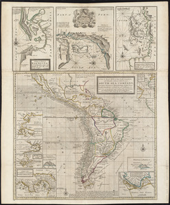
A new & exact map of the coast, countries and islands within ye limits of ye South Sea Company, from ye river Aranoca to Terra...
33.
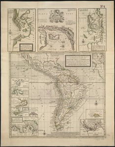
A new & exact map of the coast, countries and islands within ye limits of ye South Sea Company, from ye river Aranoca to Terra...
34.
A new map of South America : shewing it's general divisions, chief cities & towns, rivers, mountains &c
35.
A new map of the southern parts of America taken from manuscript maps made in the country and a survey of the eastern coast...
36.
Noua et accurata totius Americae tabula
37.
Novissima et accuratissima totius Americae descriptio
38.
Le Paraguayr, Le Chili, La Terre, et les Isles Magellanicques : tirées de diverses rélations
39.
Paraquaria vulgo Paraguay : cum adjacentibus
40.
Pascaerte van Nova Hispania, Chili, Peru, en Guatimala
‹ Prev
Next ›
1
2
3
4
5
6
…
435
436


![A map of Terra Firma Peru, Amazone-land, Brasil & the north p[art] of La Plata](https://bpldcassets.blob.core.windows.net/derivatives/images/commonwealth:xg94j123n/image_thumbnail_300.jpg)