Toggle navigation
LMEC Home
Exhibitions
Georeferencing
Tools for Teachers
Collections
My Favorites
Sign Up / Log In
Search
Search the map portal
Map Collection
Map Collection
Map Sets
Search
Search
Search for
Search In
All Fields
Creator
Title
Subject
Place
Search All Digital Collections
Advanced Search
8591 Results
My Search
Start Over
More Like
commonwealth:q524n2820
Remove constraint More Like: commonwealth:q524n2820
Filter your Search
Place
North and Central America
5,877
United States
4,806
Massachusetts
2,052
Europe
1,359
Suffolk (county)
1,034
Boston
1,007
Canada
462
Asia
422
more
Place
»
Topic
Boston (Mass.)--Maps
577
United States--Maps
314
Real property--Massachusetts--Boston--Maps
174
Massachusetts--Maps
160
Landowners--Massachusetts--Boston--Maps
132
North America--Maps--Early works to 1800
103
New England--Maps
99
Europe--Maps
78
more
Topic
»
Date
Date range begin
–
Date range end
Current results range from
1482
to
2023
View distribution
Creator
United States. Hydrographic Office
594
O.H. Bailey & Co
148
Des Barres, Joseph F. W. (Joseph Frederick Wallet), 1722-1824
123
United States. Post Office Dept
120
Ptolemy, 2nd cent
100
Walling, Henry Francis, 1825-1888
94
Geological Survey (U.S.)
87
Jefferys, Thomas, -1771
85
more
Creator
»
Format
Maps/Atlases
8,532
Manuscripts
215
Prints
56
Books
36
Objects/Artifacts
10
Drawings/Illustrations
8
Posters
4
Georeferenced
Yes
871
No
7,720
Collection
Norman B. Leventhal Map & Education Center Collection
8,554
Boston and New England Maps
2,204
Urban Maps
1,936
Maritime Charts and Atlases
1,081
American Revolutionary War-Era Maps
651
Boston Redevelopment Authority Collection
87
American Antiquarian Society Collection
20
William L. Clements Library Collection
13
more
Collection
»
Available to use
No known restrictions
8,412
Creative Commons license
49
Search Constraints
Sort by relevance
relevance
title
date (asc)
date (desc)
Number of results to display per page
20 per page
10
per page
20
per page
50
per page
100
per page
View results as:
grid view
map view
Search Results
181.
Pictorial map of the United States, 1849
182.
The pictorial map, stamps of America
183.
The pictorial map, stamps of the U.S.A.
184.
The pictorial map, United States stamps
185.
Portugal is not a small country
186.
Property qualifications for suffrage, 1775
187.
Property qualifications for suffrage, 1800
188.
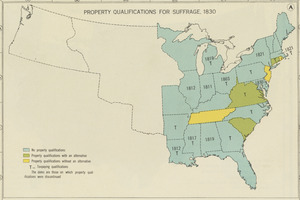
Property qualifications for suffrage, 1830
189.
Property qualifications for suffrage, 1860
190.
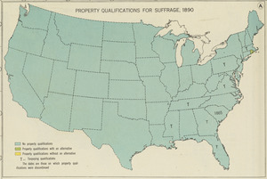
Property qualifications for suffrage, 1890
191.
Property qualifications for suffrage, 1920
192.
Public lands of the United States, 1850
193.
Public lands of the United States, 1870
194.
Public lands of the United States, 1890
195.
Public lands of the United States, 1910
196.
P.W.A. and industry : how benefits are spread
197.
P.W.A. in action
198.
PWA rebuilds the nation
199.
Radio map of the United States
200.
Rail road map of the southern states shewing the southern & southwestern railway connections with Philadelphia
‹ Prev
Next ›
1
2
…
6
7
8
9
10
11
12
13
14
…
429
430