Toggle navigation
LMEC Home
Exhibitions
Georeferencing
Tools for Teachers
Collections
My Favorites
Sign Up / Log In
Search
Search the map portal
Map Collection
Map Collection
Map Sets
Search
Search
Search for
Search In
All Fields
Creator
Title
Subject
Place
Search All Digital Collections
Advanced Search
797 Results
My Search
Start Over
More Like
commonwealth:pr76mn66w
Remove constraint More Like: commonwealth:pr76mn66w
Filter your Search
Place
North and Central America
713
United States
516
North America
148
New York
105
Canada
79
New Jersey
57
South Carolina
40
Virginia
36
more
Place
»
Topic
United States--History--Revolution, 1775-1783--Maps
330
North America--Maps
85
North America--Maps--Early works to 1800
60
United States--Maps--Early works to 1800
44
Canada--Maps--Early works to 1800
38
Newport (R.I.)--Maps
24
United States--Maps
21
Charleston (S.C.)--Maps
17
more
Topic
»
Date
Date range begin
–
Date range end
Current results range from
1623
to
1999
View distribution
Creator
Faden, William, 1749-1836
23
Robert Sayer and John Bennett (Firm)
19
Jefferys, Thomas, -1771
18
Clinton, Henry, Sir, 1738?-1795
17
Gibson, J. (John), active 1750-1792
17
Bellin, Jacques Nicolas, 1703-1772
16
Anville, Jean Baptiste Bourguignon d', 1697-1782
15
Hills, John, active 1777-1819
14
more
Creator
»
Format
Maps/Atlases
790
Manuscripts
7
Drawings/Illustrations
5
Paintings
3
Ephemera
1
Objects/Artifacts
1
Prints
1
Georeferenced
Yes
15
No
782
Collection
American Revolutionary War-Era Maps
698
MacLean Collection Map Library
379
William L. Clements Library Collection
321
Norman B. Leventhal Map & Education Center Collection
51
American Antiquarian Society Collection
24
New York Public Library Collection
10
Boston and New England Maps
5
Richard H. Brown Revolutionary War Map Collection at Mount Vernon
4
more
Collection
»
Available to use
No known restrictions
54
Creative Commons license
16
Search Constraints
Sort by relevance
relevance
title
date (asc)
date (desc)
Number of results to display per page
20 per page
10
per page
20
per page
50
per page
100
per page
View results as:
grid view
map view
Search Results
561.
A map exhibiting all the new discoveries in the interior parts of North America inscribed by permission to the honorable...
562.
A map exhibiting all the new discoveries in the interior parts of North America inscribed by permission to the honorable...
563.
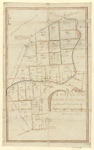
A map of a tract of land granted on the 30th May 1769 to Jacob H. Ten Eyck and three other persons laid into lots
564.
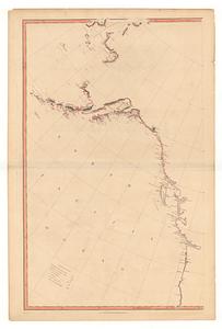
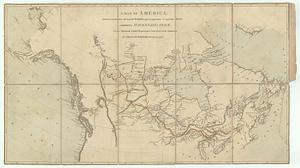
A map of America, between latitudes 40 and 70 north, and longitudes 45 and 180 west : exhibiting Mackenzie's track from...
565.
A map of Canada and the north part of Louisiana with the adjacent countrys
566.
Map of Japan plate
567.
Map of London : from an actual survey made in the years 1824, 1825 & 1826
568.
A map of Louisiana with the course of the Missisipi, and the adjacent rivers, the nations of the natives, the French...
569.
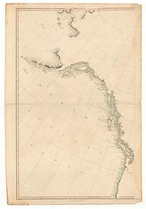
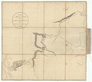
A map of Mackenzie's track, from Fort Chipewyan to Pacific Ocean in 1793
570.
Map of Massachusetts proper : compiled from actual surveys made by order of the general court, and under the inspection of...
571.
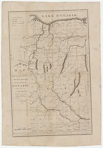
A map of Messrs: Gorham & Phelps's purchase; now the county of Ontario in the state of New York
572.
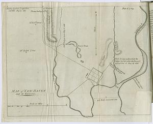
Map of New-Haven and its environs
573.
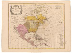
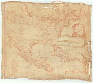
A map of North America
574.
A map of North America
575.
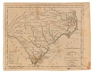
Map of North and South Carolina
576.
Map of northern Vermont townships
577.
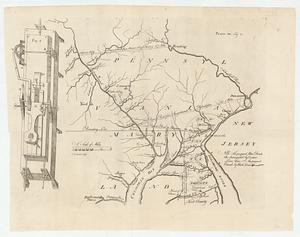
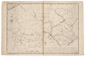
Map of part of Pennsylvania & Maryland intended to illustrate proposals for a communication between the waters of the Delaware...
578.
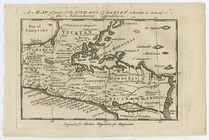
A map of part of the Isthmus of Darien, whereon is traced the adventurers expedition
579.
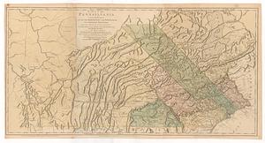
Map of Pennsylvania
580.
A map of Pennsylvania exhibiting not only the improved parts of that province, but also its extensive frontiers : laid down...
‹ Prev
Next ›
1
2
…
25
26
27
28
29
30
31
32
33
…
39
40