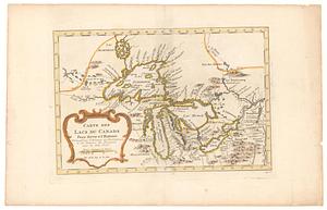
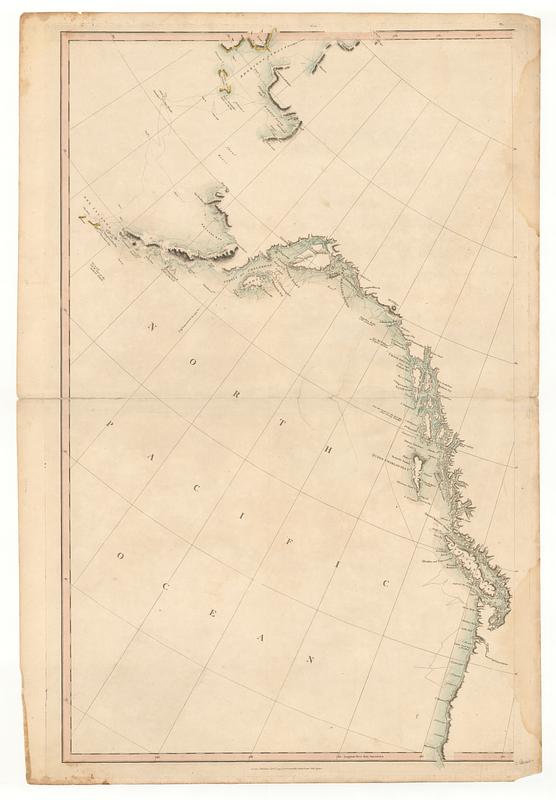
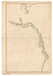
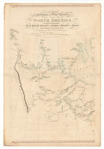
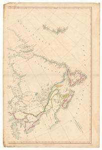
A map exhibiting all the new discoveries in the interior parts of North America inscribed by permission to the honorable governor and Company of Adventurers of England trading into Hudson Bay
This map is also available in American Revolutionary Geographies Online (ARGO), a collections portal especially built for material relating to the American Revolutionary War Era. Visit ARGO to learn more about this item and explore the historical geography of North America in the late eighteenth century.
Item Information
- Title:
- A map exhibiting all the new discoveries in the interior parts of North America inscribed by permission to the honorable governor and Company of Adventurers of England trading into Hudson Bay
- Publisher:
- Arrowsmith, Aaron, 1750-1823
- Name on Item:
-
in testimony of their liberal communications to their most obedient and very humble servant A. Arrowsmith
- Date:
-
[ca. 1798]
- Format:
-
Maps/Atlases
- Location:
- MacLean Collection Map Library
- Collection (local):
-
MacLean Collection Map Library
- Subjects:
-
Canada--Maps--Early works to 1800
- Places:
-
Canada
- Extent:
- 1 map ; 985 x 661 mm
- Terms of Use:
-
Public Domain/No known restrictions on use. Contact host institution to download image.
Contact host institution for more information.
- Publisher:
-
London :
Arrowsmith, Aaron Sr.
- Language:
-
English
- Identifier:
-
MC_33732
- Call #:
-
33732