Toggle navigation
LMEC Home
Exhibitions
Georeferencing
Tools for Teachers
Collections
My Favorites
Sign Up / Log In
Search
Search the map portal
Map Collection
Map Collection
Map Sets
Search
Search
Search for
Search In
All Fields
Creator
Title
Subject
Place
Search All Digital Collections
Advanced Search
237 Results
My Search
Start Over
More Like
commonwealth:p8418t692
Remove constraint More Like: commonwealth:p8418t692
Filter your Search
Place
North America
170
North and Central America
82
United States
54
Canada
35
Atlantic Ocean
13
New York
13
Louisbourg
11
Nova Scotia
9
more
Place
»
Topic
North America--Maps--Early works to 1800
180
Great Britain--Colonies--America--Maps--Early works to 1800
15
United States--History--French and Indian War, 1754-1763--Maps--Early works to 1800
15
United States--Maps--Early works to 1800
14
Atlantic Ocean--Maps
11
Canada--Maps--Early works to 1800
11
British--America--Maps--Early works to 1800
10
South America--Maps--Early works to 1800
8
more
Topic
»
Date
Date range begin
–
Date range end
Current results range from
1528
to
1990
View distribution
Creator
Jefferys, Thomas, -1771
16
Sayer, Robert, 1725-1794
16
Mitchell, John, 1711-1768
13
Moll, Herman, d. 1732
11
Anville, Jean Baptiste Bourguignon d', 1697-1782
8
Kitchin, Thomas, 1718-1784
6
Gibson, J. (John), active 1750-1792
5
Hinton, John, -1781
5
more
Creator
»
Format
Maps/Atlases
237
Manuscripts
15
Georeferenced
Yes
5
No
232
Collection
American Revolutionary War-Era Maps
170
Norman B. Leventhal Map Center Collection
127
New York Public Library Collection
32
Richard H. Brown Revolutionary War Map Collection at Mount Vernon
28
New-York Historical Society Collection
24
Mapping Boston Collection
9
Sidney R. Knafel Map Collection at Phillips Academy
9
William L. Clements Library Collection
5
more
Collection
»
Available to use
No known restrictions
142
Creative Commons license
75
Search Constraints
Sort by relevance
relevance
title
date (asc)
date (desc)
Number of results to display per page
20 per page
10
per page
20
per page
50
per page
100
per page
View results as:
grid view
map view
Search Results
201.
Nova tabula geographica complectens borealiorem Americæ partem : in qua exacte delineatæ sunt Canada sive Nova Francia, Nova...
202.
Novissima et accuratissima totius Americae descriptio
203.
La Nuoua Francia
204.
Partie de l'Amerique Septentrionale, qui comprend le Canada, la Louisiane, le Labrador, le Groenland, la Nouvelle Angleterre,...
205.
Pas-caert van Terra Nova, Nova Francia, Nieuw-Engeland en de groote rivier van Canada
206.
Paskaerte van Nova Granada en t'Eylandt California
207.
Les principales forteresses, ports &c. de l'Amérique septentrionale
208.
Rade et port de Plaisance -- Le Port d'Anapolis dans l'Acadie -- Port de Boston dans la Nouvlle. Angleterre
209.
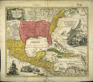
Regni Mexicani seu Novae Hispaniae, Ludovicianae, N. Angliae, Carolinae, Virginae et Pensylvaniae necnon insularum archipelagi...
210.
Terra de Lavoratore
211.
This map of North America, according to ye newest and most exact observations is most humbly dedicated by your Lordship's most...
212.
Tierra nueua
213.
Tierra nveva
214.
To the Right Honourable John Lord Sommers, Baron of Evesham in ye county of Worcester, president of Her Majesty's most...
215.
Virginia et Nova Francia
216.
The Country twenty five miles round New York
217.
Cross Roads to East Chester, and above : no 19
218.
A general map of the middle British colonies, in America : viz Virginia, Màriland, Dèlaware, Pensilvania, New-Jersey, New-York,...
219.
A map of the state of New York
220.
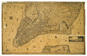
A new & accurate plan of the city of New York in the state of New York in North America
‹ Prev
Next ›
1
2
…
7
8
9
10
11
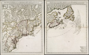
12