Toggle navigation
LMEC Home
Exhibitions
Georeferencing
Tools for Teachers
Collections
My Favorites
Sign Up / Log In
Search
Search the map portal
Map Collection
Map Collection
Map Sets
Search
Search
Search for
Search In
All Fields
Creator
Title
Subject
Place
Search All Digital Collections
Advanced Search
419 Results
My Search
Start Over
More Like
commonwealth:p8418t63d
Remove constraint More Like: commonwealth:p8418t63d
Filter your Search
Place
North and Central America
412
United States
368
New York
91
Virginia
70
New Jersey
52
York (county)
33
Yorktown
33
South Carolina
31
more
Place
»
Topic
United States--History--Revolution, 1775-1783--Maps
330
Virginia--Maps--Early works to 1800
38
Newport (R.I.)--Maps
24
Yorktown (Va.)--History--Siege, 1781--Maps--Early works to 1800
19
Maryland--Maps--Early works to 1800
18
Charleston (S.C.)--Maps
16
Hudson River (N.Y. and N.J.)--Maps
15
New Jersey--Maps
14
more
Topic
»
Date
Date range begin
–
Date range end
Current results range from
1590
to
1881
View distribution
Creator
Clinton, Henry, Sir, 1738?-1795
17
Hills, John, active 1777-1819
13
André, John, 1751-1780
11
Faden, William, 1749-1836
11
Montrésor, John, 1736-1799
10
Fage, Edward
9
Castries, Charles Eugène Gabriel de La Croix, marquis de, 1727-1801
8
D'Ethy, captain
8
more
Creator
»
Format
Maps/Atlases
413
Manuscripts
20
Drawings/Illustrations
5
Prints
1
Georeferenced
Yes
6
No
413
Collection
American Revolutionary War-Era Maps
396
William L. Clements Library Collection
305
Norman B. Leventhal Map & Education Center Collection
35
New-York Historical Society Collection
24
Richard H. Brown Revolutionary War Map Collection at Mount Vernon
15
MacLean Collection Map Library
9
Maps from AAS
7
Maritime Charts and Atlases
6
more
Collection
»
Available to use
No known restrictions
58
Creative Commons license
35
Search Constraints
Sort by relevance
relevance
title
date (asc)
date (desc)
Number of results to display per page
20 per page
10
per page
20
per page
50
per page
100
per page
View results as:
grid view
map view
Search Results
321.
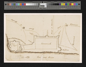
Savannah and its defenses
322.
Savannah River and Savannah Sound
323.
A scetch [sic] of that part of Statten island from the Old Star [Ferry] to Deckers Ferry and the lands lying to the westd. of...
324.
Schauplatz des kriegs zwischen Engelland und seinen collonien in America nach richtigen carten gezeichnet und in diese form...
325.
The seat of action between the British and American forces or an authentic plan of Staten Island with the neighbouring...
326.
The seat of action, between the British and American forces or an authentic plan of the western part of Long Island, with the...
327.
Seat of war in the environs of Philadelphia
328.
Seat of war in the environs of Philadelphia
329.
Seconnet Passage
330.
Siège d'York 1781 : carte des environs d'York en Virginie avec les attaques et la position des armées Françoise et Américaine...
331.
Siege of Charleston, South Carolina 1780
332.
Siege of Charlestown 1780
333.
Siege of Yorktown
334.
Situation des posten zu Denyses Ferry auf Long Island wie solcher den 7ten October 1781 von furste : Braunshweig und Hessen...
335.
Situation of ye rebels just before the attack upon Trenton
336.
Sketch from information of the different roads about Freehold in the Jerseys
337.
Sketch from information of the different roads about Freehold in the Jerseys
338.
Sketch of Bunker Hill Battle
339.
Sketch of different passes into Canada from our lower provinces
340.
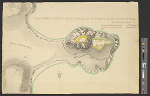
Sketch of Dumplin Point with a project for a battery of 4 guns and a redout for 90 men; with a barrack in the battery
‹ Prev
Next ›
1
2
…
13
14
15
16
17
18
19
20
21

![A scetch [sic] of that part of Statten island from the Old Star [Ferry] to Deckers Ferry and the lands lying to the westd. of the road leading from Deckers Ferry to the Old Star made from a view of the same by Thomas Millidge major of the 5th battn. of N: J V](https://bpldcassets.blob.core.windows.net/derivatives/metadata/commonwealth-oai:1831hj84z/image_thumbnail_300.jpg)