Toggle navigation
LMEC Home
Exhibitions
Georeferencing
Tools for Teachers
Collections
My Favorites
Sign Up / Log In
Search
Search the map portal
Map Collection
Map Collection
Map Sets
Search
Search
Search for
Search In
All Fields
Creator
Title
Subject
Place
Search All Digital Collections
Advanced Search
85 Results
My Search
Start Over
More Like
commonwealth:p8418t535
Remove constraint More Like: commonwealth:p8418t535
Filter your Search
Place
United States
83
North and Central America
82
New York
67
Manhattan
27
Brooklyn (borough)
6
New Jersey
5
Westchester (county)
5
Boston
4
more
Place
»
Topic
New York (N.Y.)--Maps
48
Manhattan (New York, N.Y.)--Maps
25
Real property--New York (State)--New York--Maps
10
United States--History--Revolution, 1775-1783--Maps
10
Brooklyn (New York, N.Y.)--Maps
7
Railroads--New York (State)--New York--Maps
7
Buildings--New York (State)--New York--Maps
6
Landforms--New York (State)--Maps
6
more
Topic
»
Date
Date range begin
–
Date range end
Current results range from
1755
to
1932
View distribution
Creator
Hayward, George, approximately 1800-
4
Dripps, M. (Matthew)
3
Erskine, Robert, 1735-1780
3
Faden, William, 1749-1836
3
Robert Sayer and John Bennett (Firm)
3
De Brahm, Ferdinand Joseph Sebastian
2
De Witt, Simeon, 1756-1834
2
G.W. & C.B. Colton & Co
2
more
Creator
»
Format
Maps/Atlases
85
Manuscripts
9
Georeferenced
Yes
10
No
75
Collection
American Revolutionary War-Era Maps
45
Norman B. Leventhal Map & Education Center Collection
39
Urban Maps
29
New-York Historical Society Collection
24
William L. Clements Library Collection
15
Maps from AAS
4
New York Public Library Collection
2
MacLean Collection Map Library
1
Available to use
No known restrictions
63
Creative Commons license
2
Search Constraints
Sort by relevance
relevance
title
date (asc)
date (desc)
Number of results to display per page
20 per page
10
per page
20
per page
50
per page
100
per page
View results as:
grid view
map view
Search Results
21.
British troop dispositions in and near New York City, July and August 1781
22.
Carte générale des États-Unis de l'Amérique avec les plans des principales villes
23.
Citizens & travelers guide map in, to and from the city of New York and adjacent places
24.
The Firemen's guide : a map of the City of New-York, showing the fire districts, fire limits, hydrants, public cisterns,...
25.
Grundriss des nördlichen Theils der Neujorks Insel nebst den am 16. Novbr. 1776. eroberten Fort Washington nun das Fort...
26.
Hammond's complete map of New York City
27.
Johnson's map of New York and the adjacent cities
28.
Map of greater New York : Map of the borough of Manhattan
29.
Map of New York and vicinity
30.
Map of northern part of New York City
31.
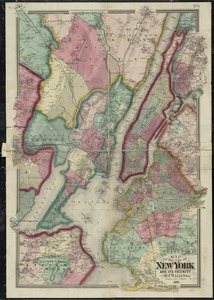
Map of the cities of New York, Brooklyn, Jersey City, Hudson City and Hoboken
32.
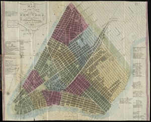
Map of the city & county of New York
33.
Map of the city & county of New York ; Upper part of the city and county of New York on a reduced scale
34.
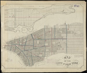
Map of the city of New York
35.
Map of the city of New York and its vicinity
36.
Map of the city of New York, with the latest improvements
37.
Map of the city of New-York extending northward to Fiftieth Street
38.
A map of the history of New York state
39.
Map of the lands included in the Central Park, from a topographical survey, June 17th, 1856
40.
Map of the State of New-York exhibiting the several towns and counties together with the population as determined by the census...
‹ Prev
Next ›
1
2
3
4
5