Toggle navigation
LMEC Home
Exhibitions
Georeferencing
Tools for Teachers
Collections
My Favorites
Sign Up / Log In
Search
Search the map portal
Map Collection
Map Collection
Map Sets
Search
Search
Search for
Search In
All Fields
Creator
Title
Subject
Place
Search All Digital Collections
Advanced Search
8670 Results
My Search
Start Over
More Like
commonwealth:mw22xn306
Remove constraint More Like: commonwealth:mw22xn306
Filter your Search
Place
North and Central America
5,909
United States
4,828
Massachusetts
2,080
Europe
1,392
Suffolk (county)
1,063
Boston
1,036
Canada
449
Asia
437
more
Place
»
Topic
Boston (Mass.)--Maps
586
United States--Maps
279
Real property--Massachusetts--Boston--Maps
175
Massachusetts--Maps
161
Landowners--Massachusetts--Boston--Maps
133
North America--Maps--Early works to 1800
103
New England--Maps
101
City planning--Massachusetts--Boston--Maps
79
more
Topic
»
Date
Date range begin
–
Date range end
Current results range from
1482
to
2023
View distribution
Creator
United States. Hydrographic Office
595
O.H. Bailey & Co
148
Des Barres, Joseph F. W. (Joseph Frederick Wallet), 1722-1824
123
United States. Post Office Dept
120
Ptolemy, 2nd cent
100
Walling, Henry Francis, 1825-1888
94
Geological Survey (U.S.)
86
Jefferys, Thomas, -1771
85
more
Creator
»
Format
Maps/Atlases
8,610
Manuscripts
215
Prints
56
Books
36
Objects/Artifacts
10
Drawings/Illustrations
8
Posters
5
Georeferenced
Yes
870
No
7,800
Collection
Norman B. Leventhal Map & Education Center Collection
8,654
Boston and New England Maps
2,242
Urban Maps
2,008
Maritime Charts and Atlases
1,083
American Revolutionary War-Era Maps
615
Boston Redevelopment Authority Collection
101
David Judkins Weaver Papers
4
Applied Geographics, Inc. Records
1
more
Collection
»
Available to use
No known restrictions
8,526
Creative Commons license
49
Search Constraints
Sort by relevance
relevance
title
date (asc)
date (desc)
Number of results to display per page
20 per page
10
per page
20
per page
50
per page
100
per page
View results as:
grid view
map view
Search Results
1.
Sketch showing arrangement for park-way with adjacent streets and building lots
2.
The 1976 proposed regional open space plan
3.
Map of Boston and vicinity : 1895
4.
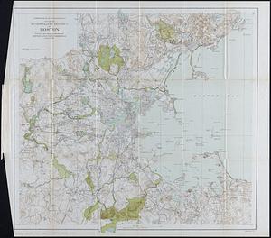
Map of Boston and vicinity including the metropolitan park system
5.
Map of the metropolitan district of Boston, Massachusetts : showing the existing public reservations and such new open spaces...
6.
Road map of the Boston District, showing the metropolitan park system
7.
Road map of the Boston district showing the metropolitan park system
8.
Bay State Street Ry. Co's lines and connections
9.
Boston personal income ; Boston personal income [and] residential population density
10.
How we get around today
11.
Map of Commonwealth Avenue Street Railway Company, and connecting lines : showing route to Norumbega Park
12.
Map of the metropolitan district of Boston : showing local public reservations, and holdings of the Metropolitan Park...
13.
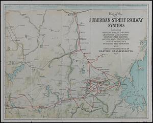
Map of the suburban street railway systems : including Newton Street Railway, Lexington and Boston, Newton and Boston, Natick...
14.
Map showing horse rail roads and the surface steam roads with 104 stations in and around Boston : including 91 surface steam...
15.
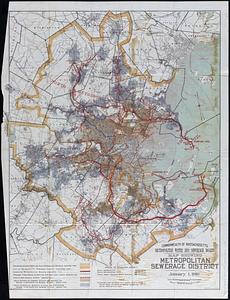
Map showing metropolitan sewerage district : January 1, 1910
16.
New historical map of metropolitan Boston
17.
Outline map of the various Boston metropolitan districts
18.
Panoramic view of Boston showing golden semicircle
19.
Principal cities of the United States
20.
Rail road map : showing the street rail road routes in and leading from Boston, with the terminus of each road in suburban...
‹ Prev
Next ›
1
2
3
4
5
…
433
434


![Boston personal income ; Boston personal income [and] residential population density](https://bpldcassets.blob.core.windows.net/derivatives/images/commonwealth:fn107c409/image_thumbnail_300.jpg)