Toggle navigation
LMEC Home
Exhibitions
Georeferencing
Tools for Teachers
Collections
My Favorites
Sign Up / Log In
Search
Search the map portal
Map Collection
Map Collection
Map Sets
Search
Search
Search for
Search In
All Fields
Creator
Title
Subject
Place
Search All Digital Collections
Advanced Search
8949 Results
My Search
Start Over
More Like
commonwealth:m900r6963
Remove constraint More Like: commonwealth:m900r6963
Filter your Search
Place
North and Central America
6,180
United States
5,096
Massachusetts
2,166
Europe
1,396
Suffolk (county)
1,295
Boston
1,268
Canada
449
Asia
438
more
Place
»
Topic
Boston (Mass.)--Maps
753
United States--Maps
282
Real property--Massachusetts--Boston--Maps
254
City planning--Massachusetts--Boston--Maps
214
Landowners--Massachusetts--Boston--Maps
170
Massachusetts--Maps
166
New England--Maps
104
North America--Maps--Early works to 1800
103
more
Topic
»
Date
Date range begin
–
Date range end
Current results range from
1482
to
2023
View distribution
Creator
United States. Hydrographic Office
595
Boston Redevelopment Authority
220
O.H. Bailey & Co
148
Des Barres, Joseph F. W. (Joseph Frederick Wallet), 1722-1824
124
United States. Post Office Dept
120
Ptolemy, 2nd cent
100
Walling, Henry Francis, 1825-1888
94
Geological Survey (U.S.)
87
more
Creator
»
Format
Maps/Atlases
8,889
Manuscripts
215
Prints
56
Books
36
Objects/Artifacts
10
Drawings/Illustrations
8
Posters
5
Georeferenced
Yes
885
No
8,064
Collection
Norman B. Leventhal Map & Education Center Collection
8,725
Boston and New England Maps
2,419
Urban Maps
2,203
Maritime Charts and Atlases
1,083
American Revolutionary War-Era Maps
638
Boston Redevelopment Authority Collection
251
Massachusetts Real Estate Atlases
38
Mapping Boston Collection
20
more
Collection
»
Available to use
No known restrictions
8,726
Creative Commons license
70
Search Constraints
Sort by relevance
relevance
title
date (asc)
date (desc)
Number of results to display per page
20 per page
10
per page
20
per page
50
per page
100
per page
View results as:
grid view
map view
Search Results
6421.
A pictorial map of the New England states U.S.A.
6422.
Pictorial map of the seat of war in Europe
6423.
A pictorial map of the United States
6424.
Pictorial map of the United States, 1849
6425.
The pictorial map, stamps of America
6426.
The pictorial map, stamps of the U.S.A.
6427.
The pictorial map, United States stamps
6428.
Pictorial plan of Chester
6429.
A pictorial stamp map of navigation and exploration
6430.
A picture chart of Cape Cod, Martha's Vineyard and Nantucket
6431.
The picture map of France
6432.
Pierce County, Wis.
6433.
Pigeon Cove, Rockport, Essex County, Mass
6434.
The Pilgrim® map Cape Cod, Martha's Vineyard and Nantucket
6435.
Pilot chart of the South Pacific
6436.
Pittsburgh district
6437.
Pittsfield
6438.
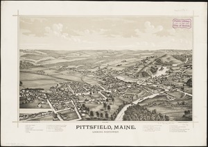
Pittsfield, Maine : looking northwest
6439.
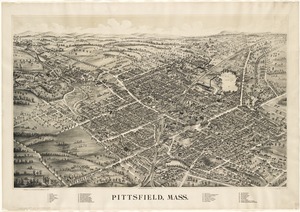
Pittsfield, Mass
6440.
Pittsfield, Merrimackcounty [sic], N.H : 1884
‹ Prev
Next ›
1
2
…
318
319
320
321
322
323
324
325
326
…
447
448


![Pittsfield, Merrimackcounty [sic], N.H](https://bpldcassets.blob.core.windows.net/derivatives/images/commonwealth:3f463513v/image_thumbnail_300.jpg)