Toggle navigation
LMEC Home
Exhibitions
Georeferencing
Tools for Teachers
Collections
My Favorites
Sign Up / Log In
Search
Search the map portal
Map Collection
Map Collection
Map Sets
Search
Search
Search for
Search In
All Fields
Creator
Title
Subject
Place
Search All Digital Collections
Advanced Search
606 Results
My Search
Start Over
More Like
commonwealth:m039nt94p
Remove constraint More Like: commonwealth:m039nt94p
Filter your Search
Place
North and Central America
560
United States
425
Massachusetts
236
North America
68
Canada
59
Suffolk (county)
46
Boston
45
Rhode Island
32
more
Place
»
Topic
Massachusetts--Maps
233
North America--Maps--Early works to 1800
59
Boston (Mass.)--Maps
47
United States--Maps--Early works to 1800
43
Canada--Maps--Early works to 1800
38
Railroads--Massachusetts--Maps
31
Rhode Island--Maps
31
Connecticut--Maps
19
more
Topic
»
Date
Date range begin
–
Date range end
Current results range from
1623
to
2020
View distribution
Creator
MassGIS (Office : Mass.)
20
Jefferys, Thomas, -1771
18
Bellin, Jacques Nicolas, 1703-1772
15
Carleton, Osgood, 1742-1816
15
Geo. H. Walker & Co
15
Carey, Mathew, 1760-1839
14
Gibson, J. (John), active 1750-1792
14
Massachusetts. Executive Office of Environmental Affairs
14
more
Creator
»
Format
Maps/Atlases
603
Manuscripts
6
Prints
2
Ephemera
1
Objects/Artifacts
1
Georeferenced
Yes
65
No
541
Collection
MacLean Collection Map Library
376
American Revolutionary War-Era Maps
345
Norman B. Leventhal Map & Education Center Collection
203
Boston and New England Maps
167
Applied Geographics, Inc. Records
19
David Judkins Weaver Papers
17
Urban Maps
11
Sidney R. Knafel Map Collection at Phillips Academy
8
more
Collection
»
Available to use
No known restrictions
195
Creative Commons license
12
Search Constraints
Sort by relevance
relevance
title
date (asc)
date (desc)
Number of results to display per page
20 per page
10
per page
20
per page
50
per page
100
per page
View results as:
grid view
map view
Search Results
581.
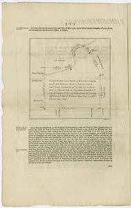
Survey of 1150 acres belonging to the London Company situated on Conestogo Creek in Lancr. County
582.
Theatre des operations des armees Americaine et Britanique en 1776 et 1777, depuis la Riviere de Rariton, dans le Jersey de...
583.
The theatre of war in North America, with the roads and a table of the distances
584.
Theatrum belli in America Septentrionali II. foliis comprehensum jussu Acad. Reg. Scient. et Eleg. Litt.
585.
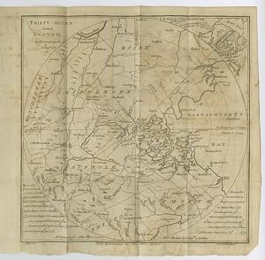
Thirty-miles round Boston
586.
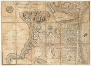
This plan of the city of Philadelphia and its environs, (shewing the improved parts,) is dedicated to the mayor, aldermen and...
587.
To the honourable Thomas Penn and Richard Penn esq.rs true & absolute proprietaries & governours of the province of...
588.
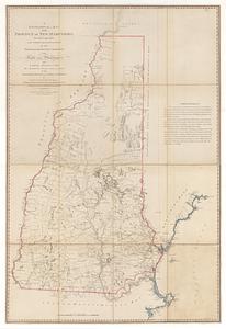
A topographical map of the province of New Hampshire : surveyed agreeably to the orders and instructions of the right...
589.
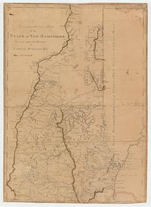
A topographical map of the state of New Hampshire
590.
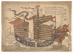
Tosen zozu
591.
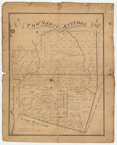
Township of Steuben 1769
592.
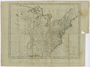
The United States of America
593.
The United States of America laid down from the best authorities, agreeable to the peace of 1783
594.
The United States of America laid down from the best authorities agreeable to the peace of 1783
595.
The United States of America with the British possessions of Canada, Nova Scotia, New Brunswick and Newfoundland divided with...
596.
The United States of North America : with the British & Spanish territories according to the treaty, of 1784
597.
The United States of North America: with the British territories, and those of Spain, according to the treaty, of 1784
598.
Die Vereinigten Staaten von Nord=America : nach der von W.m Faden 1783 : herausgegebenen charte, auf welcher alle im englisch...
599.
Die Vereinigten Staaten von Nord=America
600.
Die vereinigten staaten von Nordamerika
‹ Prev
Next ›
1
2
…
26
27
28
29
30
31