Toggle navigation
LMEC Home
Exhibitions
Georeferencing
Tools for Teachers
Collections
My Favorites
Sign Up / Log In
Search
Search the map portal
Map Collection
Map Collection
Map Sets
Search
Search
Search for
Search In
All Fields
Creator
Title
Subject
Place
Search All Digital Collections
Advanced Search
8702 Results
My Search
Start Over
More Like
commonwealth:kk91fq746
Remove constraint More Like: commonwealth:kk91fq746
Filter your Search
Place
North and Central America
5,927
United States
4,845
Massachusetts
2,079
Europe
1,396
Suffolk (county)
1,046
Boston
1,019
Canada
449
Asia
439
more
Place
»
Topic
Boston (Mass.)--Maps
586
United States--Maps
282
Real property--Massachusetts--Boston--Maps
175
Massachusetts--Maps
162
Landowners--Massachusetts--Boston--Maps
133
North America--Maps--Early works to 1800
104
New England--Maps
102
Europe--Maps
79
more
Topic
»
Date
Date range begin
–
Date range end
Current results range from
1482
to
2023
View distribution
Creator
United States. Hydrographic Office
595
O.H. Bailey & Co
148
Des Barres, Joseph F. W. (Joseph Frederick Wallet), 1722-1824
123
United States. Post Office Dept
120
Ptolemy, 2nd cent
100
Walling, Henry Francis, 1825-1888
94
Geological Survey (U.S.)
86
Jefferys, Thomas, -1771
86
more
Creator
»
Format
Maps/Atlases
8,642
Manuscripts
218
Prints
56
Books
36
Objects/Artifacts
10
Drawings/Illustrations
8
Posters
5
Georeferenced
Yes
870
No
7,832
Collection
Norman B. Leventhal Map & Education Center Collection
8,694
Boston and New England Maps
2,233
Urban Maps
2,023
Maritime Charts and Atlases
1,083
American Revolutionary War-Era Maps
620
Boston Redevelopment Authority Collection
87
Sidney R. Knafel Map Collection at Phillips Academy
4
Newberry Library Collection
2
more
Collection
»
Available to use
No known restrictions
8,552
Creative Commons license
49
Search Constraints
Sort by relevance
relevance
title
date (asc)
date (desc)
Number of results to display per page
20 per page
10
per page
20
per page
50
per page
100
per page
View results as:
grid view
map view
Search Results
4961.
A new & complete map of the city of Boston, and precincts including part of Charlestown, Cambridge & Roxbury : from the best...
4962.
A new & complete map of the city of Boston, and precincts including part of Charlestown, Cambridge & Roxbury : from the best...
4963.
A new & complete map of the city of Boston, with part of Charlestown, Cambridge & Roxbury : from the best authorities
4964.
A new & complete map of the city of Boston, with part of Charlestown, Cambridge & Roxbury
4965.
A new & complete map of the city of Boston, with part of Charlestown, Cambridge & Roxbury
4966.
A new & complete map of the city of Boston, with part of Charlestown, Cambridge & Roxbury
4967.
A new & complete map of the city of Boston, with part of Charlestown, Cambridge, Brookline, Dorchester &c
4968.
A new & correct map of the whole world : shewing ye situation of its principal parts. viz. the oceans, kingdoms, rivers, capes,...
4969.
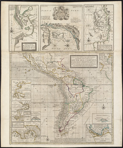
A new & exact map of the coast, countries and islands within ye limits of ye South Sea Company, from ye river Aranoca to Terra...
4970.
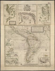
A new & exact map of the coast, countries and islands within ye limits of ye South Sea Company, from ye river Aranoca to Terra...
4971.
A new & exact map of the electorate of Brunswick-Lunenburg and ye rest of ye Kings dominions in Germany : very much improved by...
4972.
A new and accurat map of the world : drawne according to ye truest descriptions latest discoveries & best observations yt have...
4973.
A new and accurat map of the world drawne according to ye truest descriptions latest discoveries & best observations yt have...
4974.
A new and accurate chart (from Captain Holland's surveys) of the North American coast, for the navigation between Cape Cod in...
4975.
A new and accurate chart of the Bay of Chesapeak including Delaware Bay with all the shoals, channels, islands, entrances,...
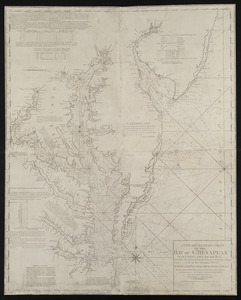
4976.
A new and accurate chart of the Bay of Chesapeak including Delaware Bay with all the shoals, channels, islands, entrances,...
4977.
A new and accurate chart of the Bay of Chesapeak including Delaware Bay with all the shoals, channels, islands, entrances,...
4978.
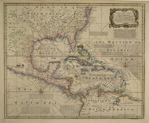
A new and accurate chart of the West Indies : with the adjacent coasts of North and South America
4979.
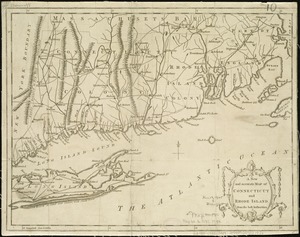
A new and accurate map of Connecticut and Rhode Island, from the best authorities
4980.
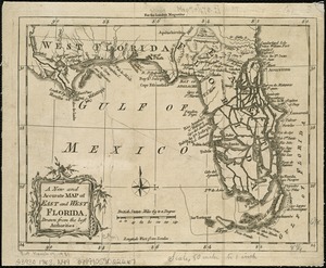
A New and accurate map of East and West Florida, drawn from the best authorities
‹ Prev
Next ›
1
2
…
245
246
247
248
249
250
251
252
253
…
435
436