Toggle navigation
LMEC Home
Exhibitions
Georeferencing
Tools for Teachers
Collections
My Favorites
Sign Up / Log In
Search
Search the map portal
Map Collection
Map Collection
Map Sets
Search
Search
Search for
Search In
All Fields
Creator
Title
Subject
Place
Search All Digital Collections
Advanced Search
8679 Results
My Search
Start Over
More Like
commonwealth:js956m38f
Remove constraint More Like: commonwealth:js956m38f
Filter your Search
Place
North and Central America
5,886
United States
4,805
Massachusetts
2,068
Europe
1,393
Suffolk (county)
1,041
Boston
1,014
Canada
449
Asia
438
more
Place
»
Topic
Boston (Mass.)--Maps
582
United States--Maps
279
Real property--Massachusetts--Boston--Maps
175
Massachusetts--Maps
161
Landowners--Massachusetts--Boston--Maps
133
North America--Maps--Early works to 1800
103
New England--Maps
101
Europe--Maps
80
more
Topic
»
Date
Date range begin
–
Date range end
Current results range from
1482
to
2023
View distribution
Creator
United States. Hydrographic Office
595
O.H. Bailey & Co
148
Des Barres, Joseph F. W. (Joseph Frederick Wallet), 1722-1824
123
United States. Post Office Dept
120
Ptolemy, 2nd cent
100
Walling, Henry Francis, 1825-1888
94
Geological Survey (U.S.)
86
Jefferys, Thomas, -1771
85
more
Creator
»
Format
Maps/Atlases
8,619
Manuscripts
215
Prints
56
Books
36
Objects/Artifacts
10
Drawings/Illustrations
8
Posters
5
Georeferenced
Yes
869
No
7,810
Collection
Norman B. Leventhal Map & Education Center Collection
8,666
Boston and New England Maps
2,221
Urban Maps
1,992
Maritime Charts and Atlases
1,083
American Revolutionary War-Era Maps
615
Boston Redevelopment Authority Collection
87
Mapping Boston Collection
19
Sidney R. Knafel Map Collection at Phillips Academy
13
Available to use
No known restrictions
8,505
Creative Commons license
66
Search Constraints
Sort by relevance
relevance
title
date (asc)
date (desc)
Number of results to display per page
20 per page
10
per page
20
per page
50
per page
100
per page
View results as:
grid view
map view
Search Results
1.
Carta universal en que se contiene todo lo que del mundo se ha descubierto fasta agora
2.
Chart of the track of the Dolphin, Tamar, Swallow & Endeavour through the South Seas ; & of the track of M. Bougainville round...
3.
Chart of the world according to Mercators projection, shewing the tracks & discoveries of Captn. Cook
4.
A chart of the world upon Mercator's projection : describing the tracks of Capt. Cook in the year 1768, 69, 70, 71, and in...
5.
Diversi globi terr-aquei statione variante et visu intercedente, per coluros tropicorum, per ambos polos et particul : sphaerae...
6.
[Hamadaradz Asharhatsuyts] = [Extensive world map]
7.
A map of the world from the best authorities
8.
A map of the world on a globular projection : exhibiting particularly the nautical researches of Captain James Cook, F.R.S. :...
9.
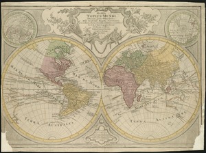
Mappa totius mundi : adornata juxta observationes dnn. academiae regalis scientiarum et nonnullorum aliorum secundum...
10.
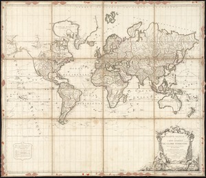
Mappe Monde ou carte générale du globe terrestre dessinée suivant les regles de la projection des cartes réduites
11.
Mappe-monde
12.
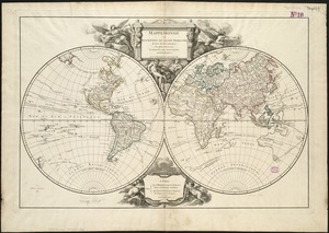
Mappemonde ou Description du globe terrestre
13.
Mappmonde ou description generale du globe terrestre
14.
A Mercators chart
15.
A new & correct map of the whole world : shewing ye situation of its principal parts. viz. the oceans, kingdoms, rivers, capes,...
16.
A new and accurat map of the world : drawne according to ye truest descriptions latest discoveries & best observations yt have...
17.
A new and accurat map of the world drawne according to ye truest descriptions latest discoveries & best observations yt have...
18.
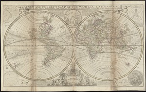
A new and correct map of the world, laid down according to the newest discoveries, and from the most exact observations
19.
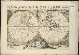
A new map of the terraqueous globe according to the ancient discoveries and most general divisions of it into continents and...
20.
A new map of the terraqueous globe according to the latest discoveries and most general divisions of it into continents and oceans
‹ Prev
Next ›
1
2
3
4
5
…
433
434


![[Hamadaradz Asharhatsuyts]](https://bpldcassets.blob.core.windows.net/derivatives/images/commonwealth:x633f982n/image_thumbnail_300.jpg)