Toggle navigation
LMEC Home
Exhibitions
Georeferencing
Tools for Teachers
Collections
My Favorites
Sign Up / Log In
Search
Search the map portal
Map Collection
Map Collection
Map Sets
Search
Search
Search for
Search In
All Fields
Creator
Title
Subject
Place
Search All Digital Collections
Advanced Search
463 Results
My Search
Start Over
More Like
commonwealth:hq37vv90w
Remove constraint More Like: commonwealth:hq37vv90w
Filter your Search
Place
North and Central America
420
United States
400
Massachusetts
248
New England
140
Rhode Island
54
Suffolk (county)
49
Boston
48
Connecticut
43
more
Place
»
Topic
Massachusetts--Maps
235
New England--Maps
127
Boston (Mass.)--Maps
51
Railroads--New England--Maps
50
Rhode Island--Maps
50
Connecticut--Maps
41
Railroads--Massachusetts--Maps
32
New York (State)--Maps
26
more
Topic
»
Date
Date range begin
–
Date range end
Current results range from
1482
to
2020
View distribution
Creator
MassGIS (Office : Mass.)
20
Geo. H. Walker & Co
16
Massachusetts. Executive Office of Environmental Affairs
14
Walling, Henry Francis, 1825-1888
10
Boston Public Library. Norman B. Leventhal Map and Education Center
9
Geological Survey (U.S.)
9
Carey, Mathew, 1760-1839
8
Applied Geographics, Inc.
7
more
Creator
»
Format
Maps/Atlases
461
Manuscripts
5
Books
1
Ephemera
1
Prints
1
Georeferenced
Yes
88
No
375
Collection
Norman B. Leventhal Map & Education Center Collection
327
Boston and New England Maps
260
Sidney R. Knafel Map Collection at Phillips Academy
87
American Revolutionary War-Era Maps
71
David Judkins Weaver Papers
23
Applied Geographics, Inc. Records
20
Maps from AAS
18
William L. Clements Library Collection
14
more
Collection
»
Available to use
No known restrictions
319
Creative Commons license
15
Search Constraints
Sort by relevance
relevance
title
date (asc)
date (desc)
Number of results to display per page
20 per page
10
per page
20
per page
50
per page
100
per page
View results as:
grid view
map view
Search Results
61.
A new and correct map of Connecticut : one of the United States of North America
62.
Open space map of Connecticut, lands dedicated as open space, and selected undeveloped land, lands managed but not dedicated as...
63.
A particular discription of that part of the coast of Connecticut extending from Byram River to Stratford Point : these...
64.
Preliminary geological map of Connecticut
65.
The state of New York with part of the adjacent states
66.
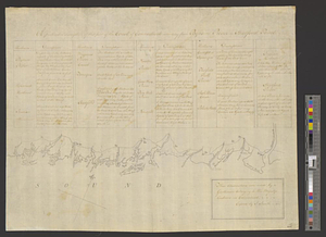
Geographical, statistical, and historical map of Rhode Island
67.
A map of Rhode Island
68.
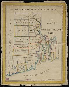
A map of the State of Rhode Island
69.
Map of the State of Rhode Island and Providence Plantations
70.
Map of the State of Rhode Island, and Providence Plantations
71.
Partie de l'état de Rhode-Island et position des armées Américaine et Britannique au siege de Newport et à l'affaire du 29 Août...
72.
Rhode Island
73.
Rhode Island
74.
Rhode Island
75.
The state of Rhode Island
76.
The state of Rhode Island : compiled from the surveys and observations of Caleb Harris
77.
The State of Rhode Island, : from the latest surveys. 1796
78.
Topographical map of the state of Rhode Island and Providence plantations
79.
A topographical map of the state of Rhode-Island and Providence Plantations
80.
ABC pathfinder railway guide map : eastern division
‹ Prev
Next ›
1
2
3
4
5
6
7
8
…
23
24