A new and correct map of Connecticut : one of the United States of North America
This map is also available in American Revolutionary Geographies Online (ARGO), a collections portal especially built for material relating to the American Revolutionary War Era. Visit ARGO to learn more about this item and explore the historical geography of North America in the late eighteenth century.
Item Information
- Title:
- A new and correct map of Connecticut : one of the United States of North America
- Description:
-
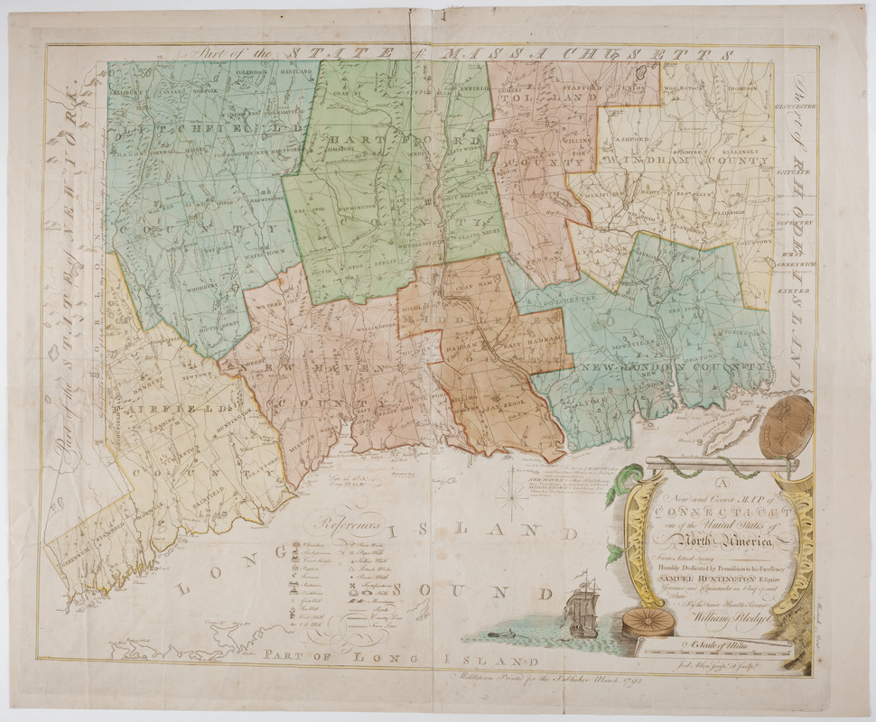
Subject: Map of the state of Connecticut with each county colored differently. A cartouche at lower left shows a man in a rowboat rowing towards a ship, and the state seal of Connecticut.
- Creator:
- Blodget, William
- Engraver:
- Allen, Joel Knott, 1755-1825
- Name on Item:
-
from actual survey humbly dedicated by permission to his excellency Samuel Huntington Esquire governor and commander in chief of said state by his most humble servant William Blodget. ; Joel Allen script et sculpt.
- Date:
-
1792
- Format:
-
Maps/Atlases
- Location:
- American Antiquarian Society
- Collection (local):
-
American Antiquarian Society Collection
- Subjects:
-
Connecticut--Maps
- Places:
-
Connecticut
- Extent:
- 1 map on 4 sheets : engraving, hand-col. ; 70 x 87 cm., 79 x 97 cm., sheets 37 x 48 cm.
- Terms of Use:
-
Public Domain/No known restrictions on use. Contact host institution to download image.
Contact host institution for more information.
- Publisher:
-
Middletown [Conn.] :
Printed for the publisher
- Scale:
-
Scale [ca. 1:202,752]
- Language:
-
English
- Catalog Record:
-
http://catalog.mwa.org/vwebv/holdingsInfo?bibId=462332
- Notes:
-
State no. II.
Relief shown by hachures and pictorially.


