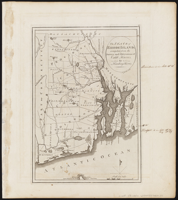
The state of Rhode Island : compiled from the surveys and observations of Caleb Harris
This map is also available in American Revolutionary Geographies Online (ARGO), a collections portal especially built for material relating to the American Revolutionary War Era. Visit ARGO to learn more about this item and explore the historical geography of North America in the late eighteenth century.
Item Information
- Title:
- The state of Rhode Island : compiled from the surveys and observations of Caleb Harris
- Creator:
- Harris, Harding
- Cartographer:
- Harris, Harding
- Engraver:
- Smither, James
- Publisher:
- Carey, Mathew, 1760-1839
- Name on Item:
-
by Harding Harris ; J. Smither sculp.
- Date:
-
[1800]
- Format:
-
Maps/Atlases
- Location:
-
Boston Public Library
Norman B. Leventhal Map & Education Center - Collection (local):
-
Norman B. Leventhal Map & Education Center Collection
- Subjects:
-
Rhode Island--Maps
- Places:
-
Rhode Island
- Extent:
- 1 map ; 33 x 23 cm
- Terms of Use:
-
No known copyright restrictions.
No known restrictions on use.
- Publisher:
-
[Philadelphia] :
[Mathew Carey]
- Scale:
-
Scale approximately 1:285,000
- Language:
-
English
- Notes:
-
In upper right margin: 29.
Map 29 in his Carey's general atlas. Philadelphia : Mathew Carey, 1800.
- Notes (date):
-
This date is inferred.
- Identifier:
-
06_01_004548
- Call #:
-
G1015 .C3 1800x
- Barcode:
-
30000005056507


