Toggle navigation
LMEC Home
Exhibitions
Georeferencing
Tools for Teachers
Collections
My Favorites
Sign Up / Log In
Search
Search the map portal
Map Collection
Map Collection
Map Sets
Search
Search
Search for
Search In
All Fields
Creator
Title
Subject
Place
Search All Digital Collections
Advanced Search
519 Results
My Search
Start Over
More Like
commonwealth:g445fx66s
Remove constraint More Like: commonwealth:g445fx66s
Filter your Search
Place
North and Central America
516
United States
513
Suffolk (county)
505
Boston
504
Massachusetts
201
Roxbury
88
South End
52
Fens
47
more
Place
»
Topic
City planning--Massachusetts--Boston--Maps
417
Urban renewal--Massachusetts--Boston--Maps
253
Boston (Mass.)--Maps
141
Land use--Massachusetts--Boston--Maps
100
Roxbury (Boston, Mass.)--Maps
87
Buildings--Massachusetts--Boston--Maps
85
Real property--Massachusetts--Boston--Maps
78
Fenway (Boston, Mass.)--Maps
48
more
Topic
»
Date
Date range begin
–
Date range end
Current results range from
1832
to
2014
View distribution
Creator
Boston Redevelopment Authority
370
Bromley, George Washington
17
Bromley, Walter Scott
17
G.W. Bromley & Co.
12
Downtown Waterfront Corporation
10
Victor Gruen Associates
10
Boston (Mass.). Parks and Recreation Department
8
Sasaki Associates
6
more
Creator
»
Format
Maps/Atlases
518
Drawings/Illustrations
3
Manuscripts
1
Prints
1
Georeferenced
Yes
7
No
512
Collection
Boston and New England Maps
505
Urban Maps
492
Boston Redevelopment Authority Collection
441
Norman B. Leventhal Map & Education Center Collection
128
Massachusetts Real Estate Atlases
5
Mapping Boston Collection
1
Available to use
No known restrictions
512
Creative Commons license
1
Search Constraints
Sort by relevance
relevance
title
date (asc)
date (desc)
Number of results to display per page
20 per page
10
per page
20
per page
50
per page
100
per page
View results as:
grid view
map view
Search Results
301.
Parcel 22
302.
Boston proper
303.
Dorchester improvement area, map no. 2 - south east
304.
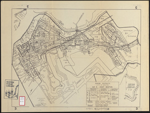
Zoning districts city of Boston map 3 East Boston
305.
Boston University, Charles River campus master plan
306.
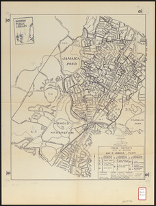
Zoning districts city of Boston map 9 Jamaica Plain
307.
Land ownership maps for land in the Government Center urban renewal project area
308.
South End urban renewal area project Mass. r-56 site preparation contract no. 50 Worcester Square Park reconstruction
309.
Boston streets & neighborhoods
310.
City of Boston plan of Columbia Road, showing connection with Franklin Park and Marine Park : under chapter 394 acts of 1897
311.
Map of central Boston and Cambridge
312.
Maps of the street-lines of Boston : made for the Selectmen in 1819 and 1820
313.
Plan of Boston proper : showing changes in street and wharf lines, 1795 to 1895
314.
Plan of Church St. district, showing estates and buildings : as proposed to be taken by the city of Boston under the Act of the...
315.
Plan of proposed Marginal Street from Broad Street at Rowe's Wharf to Commercial Street at Eastern Avenue : showing adjacent...
316.
Roxbury
317.
Back Bay project no. Mass R-47
318.
Back Bay project no. Mass. R-47 : police signal system, fire alarm system and M.T.A. facilities
319.
Back Bay study
320.
Back Bay study landscape plan
‹ Prev
Next ›
1
2
…
12
13
14
15
16
17
18
19
20
…
25
26