Toggle navigation
LMEC Home
Exhibitions
Georeferencing
Tools for Teachers
Collections
My Favorites
Sign Up / Log In
Search
Search the map portal
Map Collection
Map Collection
Map Sets
Search
Search
Search for
Search In
All Fields
Creator
Title
Subject
Place
Search All Digital Collections
Advanced Search
314 Results
My Search
Start Over
More Like
commonwealth:g158gw60d
Remove constraint More Like: commonwealth:g158gw60d
Filter your Search
Place
North and Central America
299
United States
282
Massachusetts
266
Suffolk (county)
51
Boston
50
Rhode Island
31
Connecticut
21
New England
15
more
Place
»
Topic
Massachusetts--Maps
232
Boston (Mass.)--Maps
48
Railroads--Massachusetts--Maps
31
Rhode Island--Maps
31
Connecticut--Maps
21
Roads--Massachusetts--Maps
19
New England--Maps
15
Coasts--Massachusetts--Maps
11
more
Topic
»
Date
Date range begin
–
Date range end
Current results range from
1760
to
2020
View distribution
Creator
MassGIS (Office : Mass.)
31
Massachusetts. Executive Office of Environmental Affairs
20
Geo. H. Walker & Co
15
Michler, N. (Nathaniel), 1827-1881
15
Geological Survey (U.S.)
12
New York Lithographing, Engraving and Printing Co.
12
Strasser, J.
12
Theilkuhl, F.
12
more
Creator
»
Format
Maps/Atlases
309
Ephemera
3
Manuscripts
3
Documents
1
Posters
1
Prints
1
Georeferenced
Yes
65
No
249
Collection
Norman B. Leventhal Map & Education Center Collection
283
Boston and New England Maps
212
David Judkins Weaver Papers
96
American Revolutionary War-Era Maps
19
Applied Geographics, Inc. Records
19
Urban Maps
18
Sidney R. Knafel Map Collection at Phillips Academy
8
William L. Clements Library Collection
8
more
Collection
»
Available to use
No known restrictions
276
Creative Commons license
12
Search Constraints
Sort by relevance
relevance
title
date (asc)
date (desc)
Number of results to display per page
20 per page
10
per page
20
per page
50
per page
100
per page
View results as:
grid view
map view
Search Results
301.
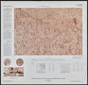
Shaded relief map of the Aeolis quadrangle of Mars : MC-23, M 5M-15/202 RN
302.
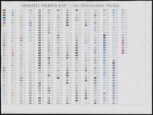
Shadesets
303.
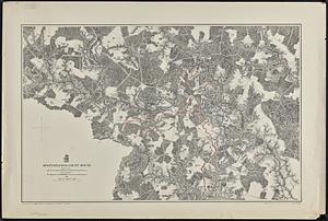
Spottsylvania Court House
304.
State of Maine
305.
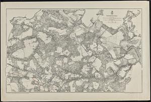
Totopotomoy
306.
Town of Sherborn protected open space and land use
307.
Trans Sahara Railway project
308.
The United States of America circa 1900
309.
U.S. Coast Survey classification and rules for the miscellaneous lettering of names &c. on the map, not connected with title or...
310.
Views of Cape Ann
311.
Water resources in southeastern Massachusetts
312.
Whale chart
313.
The Wilderness
314.
Zoning map of the town of Southborough
‹ Prev
Next ›
1
2
…
12
13
14
15
16