Toggle navigation
LMEC Home
Exhibitions
Georeferencing
Tools for Teachers
Collections
My Favorites
Sign Up / Log In
Search
Search the map portal
Map Collection
Map Collection
Map Sets
Search
Search
Search for
Search In
All Fields
Creator
Title
Subject
Place
Search All Digital Collections
Advanced Search
1095 Results
My Search
Start Over
More Like
commonwealth:ft84cd47r
Remove constraint More Like: commonwealth:ft84cd47r
Filter your Search
Place
North and Central America
1,094
United States
972
Suffolk (county)
760
Boston
757
Massachusetts
226
Middlesex (county)
52
Downtown Boston
35
Essex (county)
32
more
Place
»
Topic
Boston (Mass.)--Maps
740
Massachusetts--Maps
218
Real property--Massachusetts--Boston--Maps
124
City planning--Massachusetts--Boston--Maps
103
Landowners--Massachusetts--Boston--Maps
99
Urban renewal--Massachusetts--Boston--Maps
63
Buildings--Massachusetts--Boston--Maps
55
Local transit--Massachusetts--Boston--Maps
47
more
Topic
»
Date
Date range begin
–
Date range end
Current results range from
1743
to
2023
View distribution
Creator
Boston Redevelopment Authority
114
Bromley, George Washington
48
Bromley, Walter Scott
47
G.W. Bromley & Co.
42
Geo. H. Walker & Co
36
Geo. H. Walker & Co.
36
Boynton, George W., d. 1884
22
Boston Public Library. Norman B. Leventhal Map and Education Center
21
more
Creator
»
Format
Maps/Atlases
1,093
Manuscripts
15
Books
8
Ephemera
1
Prints
1
Georeferenced
Yes
152
No
943
Collection
Norman B. Leventhal Map Center Collection
797
Boston and New England Maps
733
Urban Maps
514
Massachusetts Real Estate Atlases
143
Boston Redevelopment Authority Collection
123
American Revolutionary War-Era Maps
46
Mapping Boston Collection
22
David Judkins Weaver Papers
20
more
Collection
»
Available to use
No known restrictions
861
Creative Commons license
45
Search Constraints
Sort by title
relevance
title
date (asc)
date (desc)
Number of results to display per page
20 per page
10
per page
20
per page
50
per page
100
per page
View results as:
grid view
map view
Search Results
1.
The 100th anniversary map of Abraham Lincoln's visit to Massachusetts, September 11-23, 1848
2.
1975 general land use plan
3.
An accurate map of the commonwealth of Massachusetts exclusive of the district of Maine compiled pursuant to an act of the...
4.
An accurate plan of the town of Boston and its vicinity : exhibiting a ground plan of all the streets, lanes, alleys, wharves,...
5.
Annexation map
6.
Atlas, city of Everett, Middlesex County, Massachusetts
7.
Atlas of Attleboro town, Massachusetts
8.
Atlas of Barnstable County, Massachusetts : towns of Bourne, Mashpee, Falmouth, Sandwich, Barnstable, Yarmouth, Dennis,...
9.
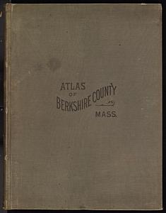
Atlas of Berkshire County, Massachusetts
10.
Atlas of Bristol Co., Massachusetts : from actual surveys
11.
Atlas of Brookfield, West Brookfield and North Brookfield towns, Massachusetts
12.
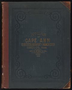
Atlas of Cape Ann, Gloucester, Rockport and Manchester, Essex County, Mass
13.
Atlas of Dorchester, West Roxbury, and Brighton, City of Boston
14.
Atlas of Essex County, Massachusetts
15.
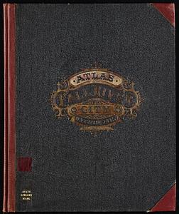
Atlas of Fall River City, Massachusetts
16.
Atlas of Franklin Co., Massachusetts : from actual surveys
17.
Atlas of Gardner town, Massachusetts
18.
Atlas of Greenfield town, Massachusetts
19.
Atlas of Hampden Co., Massachusetts : from actual surveys
20.
Atlas of Haverhill and Bradford, Massachusetts
‹ Prev
Next ›
1
2
3
4
5
…
54
55