Toggle navigation
LMEC Home
Exhibitions
Georeferencing
Tools for Teachers
Collections
My Favorites
Sign Up / Log In
Search
Search the map portal
Map Collection
Map Collection
Map Sets
Search
Search
Search for
Search In
All Fields
Creator
Title
Subject
Place
Search All Digital Collections
Advanced Search
8838 Results
My Search
Start Over
More Like
commonwealth:dj52zm95d
Remove constraint More Like: commonwealth:dj52zm95d
Filter your Search
Place
North and Central America
6,012
United States
4,861
Massachusetts
2,079
Europe
1,395
Suffolk (county)
1,046
Boston
1,019
Canada
454
Asia
441
more
Place
»
Topic
Boston (Mass.)--Maps
586
United States--Maps
282
North America--Maps--Early works to 1800
240
Real property--Massachusetts--Boston--Maps
175
Massachusetts--Maps
162
Landowners--Massachusetts--Boston--Maps
133
New England--Maps
102
Europe--Maps
79
more
Topic
»
Date
Date range begin
–
Date range end
Current results range from
1482
to
2023
View distribution
Creator
United States. Hydrographic Office
595
O.H. Bailey & Co
148
Des Barres, Joseph F. W. (Joseph Frederick Wallet), 1722-1824
123
United States. Post Office Dept
120
Ptolemy, 2nd cent
100
Walling, Henry Francis, 1825-1888
94
Jefferys, Thomas, -1771
93
Sayer, Robert, 1725-1794
88
more
Creator
»
Format
Maps/Atlases
8,778
Manuscripts
220
Prints
56
Books
36
Objects/Artifacts
10
Drawings/Illustrations
8
Posters
5
Georeferenced
Yes
872
No
7,966
Collection
Norman B. Leventhal Map & Education Center Collection
8,704
Boston and New England Maps
2,234
Urban Maps
2,023
Maritime Charts and Atlases
1,083
American Revolutionary War-Era Maps
745
Boston Redevelopment Authority Collection
87
MacLean Collection Map Library
60
New York Public Library Collection
32
more
Collection
»
Available to use
No known restrictions
8,556
Creative Commons license
114
Search Constraints
Sort by relevance
relevance
title
date (asc)
date (desc)
Number of results to display per page
20 per page
10
per page
20
per page
50
per page
100
per page
View results as:
grid view
map view
Search Results
261.
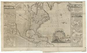
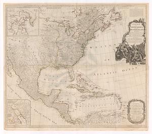
A new map of North America : from the latest discoveries
262.
A new map of North America shewing all the new discoveries
263.
A new map of North America, wherein is exactly described all ye European settlements, with whatever else is remarkable in the...
264.
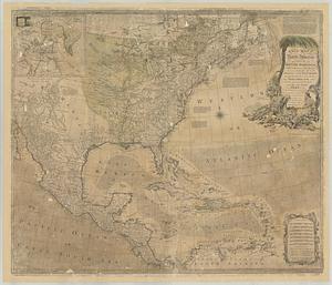
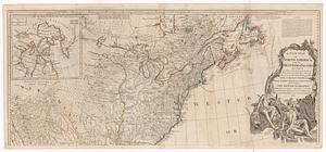
A new map of North America wherein the British Dominions in the continent of North America : and on the islands of the West...
265.
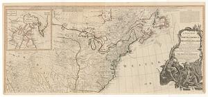
A new map of North America wherein the British dominions in the continent of North America, and on the islands of the West...
266.
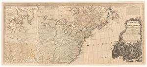
A New map of North America with the West India Islands : divided according to the preliminary articles of peace, signed at...
267.
A new map of North America; with the West India Islands : divided according to the preliminary articles of peace, signed at...
268.
A new map of North America; with the West India Islands : divided according to the preliminary articles of peace, signed at...
269.
A new map of North America; with the West India Islands : divided according to the preliminary articles of peace, signed at...
270.
A new map of North America; with the West India Islands : divided according to the preliminary articles of peace, signed at...
271.
A new map of the British colonies in North America, shewing the seat of the present war, taken from the best surveys, compared...
272.
A new map of the British colonies in North America, shewing the seat of the present war, taken from the best surveys, compared...
273.
A new map of the most considerable plantations of the English in America
274.
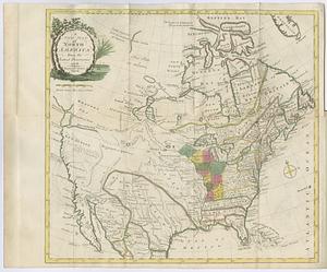
A new map of the north parts of America claimed by France under ye names of Louisiana, Mississipi, Canada, and New France with...
275.
North America
276.
North America
277.
North America
278.
North America, agreeable to the most approved maps and charts
279.
North America, as divided amongst the European powers
280.
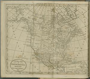
North America drawn from the latest and best authorities
‹ Prev
Next ›
1
2
…
10
11
12
13
14
15
16
17
18
…
441
442