Toggle navigation
LMEC Home
Exhibitions
Georeferencing
Tools for Teachers
Collections
My Favorites
Sign Up / Log In
Search
Search the map portal
Map Collection
Map Collection
Map Sets
Search
Search
Search for
Search In
All Fields
Creator
Title
Subject
Place
Search All Digital Collections
Advanced Search
8650 Results
My Search
Start Over
More Like
commonwealth:df65zg124
Remove constraint More Like: commonwealth:df65zg124
Filter your Search
Place
North and Central America
5,889
United States
4,808
Massachusetts
2,070
Europe
1,392
Suffolk (county)
1,043
Boston
1,016
Canada
449
Asia
437
more
Place
»
Topic
Boston (Mass.)--Maps
582
United States--Maps
279
Real property--Massachusetts--Boston--Maps
175
Massachusetts--Maps
161
Landowners--Massachusetts--Boston--Maps
133
North America--Maps--Early works to 1800
103
New England--Maps
101
Europe--Maps
79
more
Topic
»
Date
Date range begin
–
Date range end
Current results range from
1482
to
2023
View distribution
Creator
United States. Hydrographic Office
595
O.H. Bailey & Co
148
Des Barres, Joseph F. W. (Joseph Frederick Wallet), 1722-1824
123
United States. Post Office Dept
120
Ptolemy, 2nd cent
100
Walling, Henry Francis, 1825-1888
94
Geological Survey (U.S.)
86
Jefferys, Thomas, -1771
85
more
Creator
»
Format
Maps/Atlases
8,590
Manuscripts
215
Prints
56
Books
36
Objects/Artifacts
10
Drawings/Illustrations
8
Posters
5
Georeferenced
Yes
869
No
7,781
Collection
Norman B. Leventhal Map & Education Center Collection
8,648
Boston and New England Maps
2,223
Urban Maps
1,993
Maritime Charts and Atlases
1,083
American Revolutionary War-Era Maps
615
Boston Redevelopment Authority Collection
87
Applied Geographics, Inc. Records
1
Mapping Boston Collection
1
more
Collection
»
Available to use
No known restrictions
8,507
Creative Commons license
48
Search Constraints
Sort by relevance
relevance
title
date (asc)
date (desc)
Number of results to display per page
20 per page
10
per page
20
per page
50
per page
100
per page
View results as:
grid view
map view
Search Results
1.
City of Boston zoning map
2.
Boston development program
3.
Boston streets & neighborhoods
4.
Neighborhoods of Boston
5.
Topographic map of Brighton and Allston
6.
Map of Boston 1875 : from A. Williams & Cos. map of Boston and the adjacent country, 1872
7.
Map of Boston boundary line changes
8.
Map of Boston showing new division of wards
9.
Map of Boston showing proposed new division of wards Oct. 1875
10.
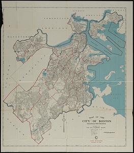
Map of the city of Boston
11.
Map of the city of Boston Massachusetts
12.
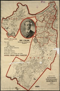
Map of the Eleventh Congressional District
13.
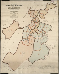
An outline map of Boston showing the old & new ward lines, also the old congressional lines
14.
Outline map of Massachusetts showing population according to United States Census of 1890, and Congressional districts
15.
Plan of Boston
16.
Ward 1 [of Boston]
17.
Ward boundaries 1959
18.
Ward lines and voting precincts 1954
19.
Ward lines and voting precincts circa 1945
20.
Dorchester improvement area, map no. 2 - south east
‹ Prev
Next ›
1
2
3
4
5
…
432
433


![Ward 1 [of Boston]](https://bpldcassets.blob.core.windows.net/derivatives/images/commonwealth:jh343z28f/image_thumbnail_300.jpg)


