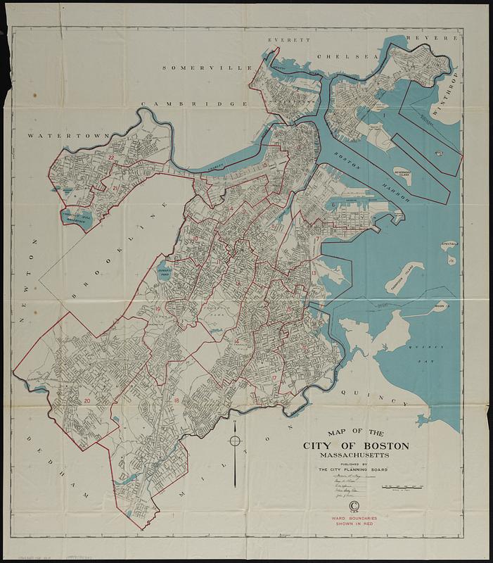
Map of the city of Boston Massachusetts
Item Information
- Title:
- Map of the city of Boston Massachusetts
- Cartographer:
- Boston (Mass.). City Planning Board
- Date:
-
[ca. 1928]
- Format:
-
Maps/Atlases
- Location:
-
Boston Public Library
Norman B. Leventhal Map & Education Center - Collection (local):
-
Norman B. Leventhal Map & Education Center Collection
- Subjects:
-
Boston (Mass.)--Administrative and political divisions--Maps
- Places:
-
MassachusettsSuffolk (county)Boston
- Extent:
- 1 map : col. ; 100 x 88 cm.
- Terms of Use:
-
No known copyright restrictions.
No known restrictions on use.
- Publisher:
-
Boston :
City Planning Board
- Scale:
-
Scale [ca. 1:24,000]
- Language:
-
English
- Notes:
-
Ward boundaries shown in red.
- Identifier:
-
06_01_018920
- Call #:
-
G3764.B6F7 1928 .B67x
- Barcode:
-
39999059027027


