Toggle navigation
LMEC Home
Exhibitions
Georeferencing
Tools for Teachers
Collections
My Favorites
Sign Up / Log In
Search
Search the map portal
Map Collection
Map Collection
Map Sets
Search
Search
Search for
Search In
All Fields
Creator
Title
Subject
Place
Search All Digital Collections
Advanced Search
8726 Results
My Search
Start Over
More Like
commonwealth:cj82m1988
Remove constraint More Like: commonwealth:cj82m1988
Filter your Search
Place
North and Central America
5,957
United States
4,875
Massachusetts
2,088
Europe
1,396
Suffolk (county)
1,074
Boston
1,047
Canada
449
Asia
438
more
Place
»
Topic
Boston (Mass.)--Maps
586
United States--Maps
282
Real property--Massachusetts--Boston--Maps
175
Massachusetts--Maps
162
Landowners--Massachusetts--Boston--Maps
133
North America--Maps--Early works to 1800
103
New England--Maps
102
Europe--Maps
79
more
Topic
»
Date
Date range begin
–
Date range end
Current results range from
1482
to
2023
View distribution
Creator
United States. Hydrographic Office
595
O.H. Bailey & Co
148
Des Barres, Joseph F. W. (Joseph Frederick Wallet), 1722-1824
123
United States. Post Office Dept
120
Ptolemy, 2nd cent
100
Walling, Henry Francis, 1825-1888
94
Geological Survey (U.S.)
86
Jefferys, Thomas, -1771
85
more
Creator
»
Format
Maps/Atlases
8,664
Manuscripts
227
Prints
56
Books
36
Drawings/Illustrations
10
Objects/Artifacts
10
Posters
5
Georeferenced
Yes
874
No
7,852
Collection
Norman B. Leventhal Map & Education Center Collection
8,704
Boston and New England Maps
2,242
Urban Maps
2,027
Maritime Charts and Atlases
1,083
American Revolutionary War-Era Maps
646
Boston Redevelopment Authority Collection
87
Mapping Boston Collection
10
Richard H. Brown Revolutionary War Map Collection at Mount Vernon
10
more
Collection
»
Available to use
No known restrictions
8,554
Creative Commons license
76
Search Constraints
Sort by relevance
relevance
title
date (asc)
date (desc)
Number of results to display per page
20 per page
10
per page
20
per page
50
per page
100
per page
View results as:
grid view
map view
Search Results
4841.
Military topographical map of eastern Virginia showing the routes taken by the several army corps & the battles fought in the...
4842.
Milk River Irrigation Project, Montana
4843.
[Mill dam survey : Boston, Roxbury, Brookline &c.]
4844.
Millbury, Mass., 1880
4845.
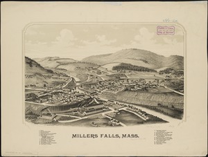
Millers Falls, Mass
4846.
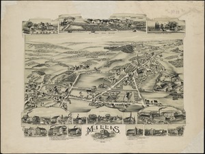
Millis, Massachusetts : 1890
4847.
Mills map of the several routes proposed to the Pacific Ocean from the head waters of the Missouri, to the Isthmus of Darien
4848.
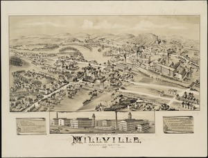
Millville, Massachusetts : 1887
4849.
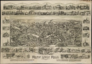
Milton, Lower Mills, Massachusetts : 1890
4850.
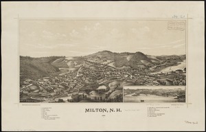
Milton, N.H : 1888
4851.
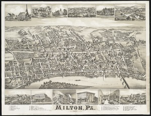
Milton, Pa
4852.
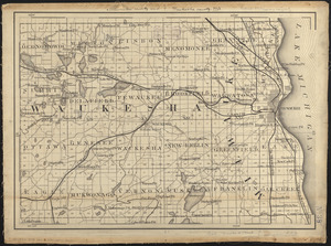
Milwaukee County and Waukesha County, Wis.
4853.
Minerals
4854.
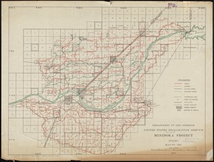
Minidoka Project, Idaho
4855.
Minnesota
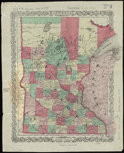
4856.
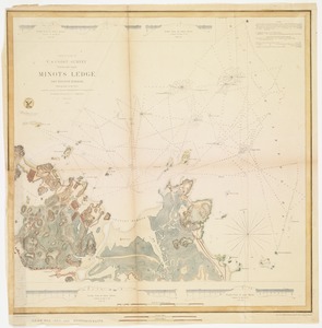
Minots Ledge off Boston Harbor : showing the proposed site of a light house
4857.
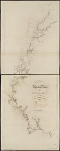
Miramichi Bay
4858.
Mississipi River, from Iberville to Yazous
4859.
[Mississippi River near Vicksburg and vicinity]
4860.
Mississippi Sound showing lines of soundings through Ship Island Pass, and from Ship Island Harbor to the main coast of...
‹ Prev
Next ›
1
2
…
239
240
241
242
243
244
245
246
247
…
436
437


![[Mississippi River near Vicksburg and vicinity]](https://bpldcassets.blob.core.windows.net/derivatives/images/commonwealth:6w924q741/image_thumbnail_300.jpg)