Toggle navigation
LMEC Home
Exhibitions
Georeferencing
Tools for Teachers
Collections
My Favorites
Sign Up / Log In
Search
Search the map portal
Map Collection
Map Collection
Map Sets
Search
Search
Search for
Search In
All Fields
Creator
Title
Subject
Place
Search All Digital Collections
Advanced Search
8727 Results
My Search
Start Over
More Like
commonwealth:cj82ks73s
Remove constraint More Like: commonwealth:cj82ks73s
Filter your Search
Place
North and Central America
5,926
United States
4,844
Massachusetts
2,079
Europe
1,397
Suffolk (county)
1,046
Boston
1,019
Canada
449
Asia
439
more
Place
»
Topic
Boston (Mass.)--Maps
586
United States--Maps
282
Real property--Massachusetts--Boston--Maps
175
Massachusetts--Maps
162
Landowners--Massachusetts--Boston--Maps
133
North America--Maps--Early works to 1800
103
New England--Maps
102
Europe--Maps
80
more
Topic
»
Date
Date range begin
–
Date range end
Current results range from
1482
to
2023
View distribution
Creator
United States. Hydrographic Office
595
O.H. Bailey & Co
148
Des Barres, Joseph F. W. (Joseph Frederick Wallet), 1722-1824
123
United States. Post Office Dept
120
Ptolemy, 2nd cent
100
Walling, Henry Francis, 1825-1888
94
Geological Survey (U.S.)
86
Jefferys, Thomas, -1771
85
more
Creator
»
Format
Maps/Atlases
8,667
Manuscripts
215
Prints
56
Books
36
Objects/Artifacts
10
Drawings/Illustrations
8
Posters
5
Georeferenced
Yes
869
No
7,858
Collection
Norman B. Leventhal Map & Education Center Collection
8,714
Boston and New England Maps
2,233
Urban Maps
2,023
Maritime Charts and Atlases
1,083
American Revolutionary War-Era Maps
616
Boston Redevelopment Authority Collection
87
Mapping Boston Collection
19
Sidney R. Knafel Map Collection at Phillips Academy
13
Available to use
No known restrictions
8,553
Creative Commons license
66
Search Constraints
Sort by relevance
relevance
title
date (asc)
date (desc)
Number of results to display per page
20 per page
10
per page
20
per page
50
per page
100
per page
View results as:
grid view
map view
Search Results
4541.
Map of the Yellowstone and Missouri Rivers and their tributaries : explored by Capt. W.F. Raynolds, Topl. Engrs., and 1st...
4542.
Map of the Yosemite Valley
4543.
Map of the Yosemite Valley : from surveys made by order of the Commissioners to manage the Yosemite Valley and Mariposa Big...
4544.
Map of the Yougoslav countries
4545.
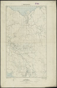
Map of the Yukon Territory to illustrate the summary reports of R.G. McConnell, B.A., Jos. Keele, B.A., and C. Camsell, B.A
4546.
A map of those countries in which the apostles travelled : in propagating Christianity
4547.
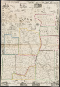
Map of Tioga County, New York : from actual surveys
4548.
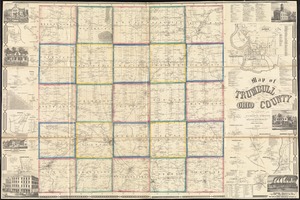
Map of Trumbull County, Ohio
4549.
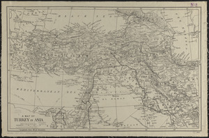
A map of Turkey in Asia
4550.
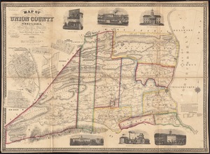
Map of Union County, Pennsylvania : entirely from original surveys
4551.
A map of Upper and Lower Canada : with part of the United States adjoining, comprising the present seat of war
4552.
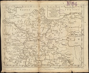
A map of Upper Saxony comprehending that part of Germany which is the present seat of war
4553.
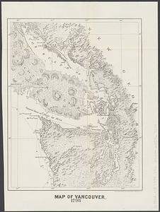
Map of Vancouver : 1798
4554.
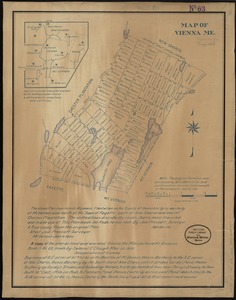
Map of Vienna, Me
4555.
A map of Virginia and Maryland
4556.
Map of Virginia and Maryland, constructed from the latest authorities
4557.
Map of Virginia and West Va., North and part of South Carolina, Maryland and Delaware, showing the situation in these states of...
4558.
Map of Virginia and West Virginia
4559.
Map of Virginia, West Virginia and Ohio : showing Norfolk and Western Railway : main line branches and connections
4560.
[Map of W. Dall's lots in Athens County, Washington County, and Gallia County, Ohio]
‹ Prev
Next ›
1
2
…
224
225
226
227
228
229
230
231
232
…
436
437


![[Map of W. Dall's lots in Athens County, Washington County, and Gallia County, Ohio]](https://bpldcassets.blob.core.windows.net/derivatives/images/commonwealth:w9505s00n/image_thumbnail_300.jpg)