Toggle navigation
LMEC Home
Exhibitions
Georeferencing
Tools for Teachers
Collections
My Favorites
Sign Up / Log In
Search
Search the map portal
Map Collection
Map Collection
Map Sets
Search
Search
Search for
Search In
All Fields
Creator
Title
Subject
Place
Search All Digital Collections
Advanced Search
8720 Results
My Search
Start Over
More Like
commonwealth:cj82kn462
Remove constraint More Like: commonwealth:cj82kn462
Filter your Search
Place
North and Central America
5,951
United States
4,869
Massachusetts
2,083
Europe
1,396
Suffolk (county)
1,048
Boston
1,021
Canada
456
Asia
438
more
Place
»
Topic
Boston (Mass.)--Maps
588
United States--Maps
282
Real property--Massachusetts--Boston--Maps
175
Massachusetts--Maps
164
Landowners--Massachusetts--Boston--Maps
133
New England--Maps
127
North America--Maps--Early works to 1800
103
Europe--Maps
79
more
Topic
»
Date
Date range begin
–
Date range end
Current results range from
1482
to
2023
View distribution
Creator
United States. Hydrographic Office
595
O.H. Bailey & Co
148
Des Barres, Joseph F. W. (Joseph Frederick Wallet), 1722-1824
123
United States. Post Office Dept
120
Ptolemy, 2nd cent
100
Walling, Henry Francis, 1825-1888
94
Geological Survey (U.S.)
86
Jefferys, Thomas, -1771
86
more
Creator
»
Format
Maps/Atlases
8,660
Manuscripts
215
Prints
56
Books
36
Objects/Artifacts
10
Drawings/Illustrations
8
Posters
5
Georeferenced
Yes
871
No
7,849
Collection
Norman B. Leventhal Map & Education Center Collection
8,698
Boston and New England Maps
2,238
Urban Maps
2,023
Maritime Charts and Atlases
1,083
American Revolutionary War-Era Maps
633
Boston Redevelopment Authority Collection
87
American Antiquarian Society Collection
9
David Judkins Weaver Papers
4
more
Collection
»
Available to use
No known restrictions
8,556
Creative Commons license
50
Search Constraints
Sort by relevance
relevance
title
date (asc)
date (desc)
Number of results to display per page
20 per page
10
per page
20
per page
50
per page
100
per page
View results as:
grid view
map view
Search Results
3441.
Map of Alaska
3442.
Map of Alaska
3443.
Map of all the railroads in the United States in operation and progress
3444.
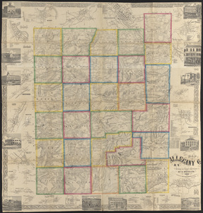
Map of Allegany Co., N.Y : from actual surveys
3445.
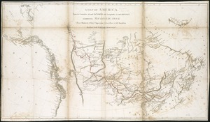
A map of America between latitudes 40 and 70 north and longitudes 45 and 180 west, exhibiting Mackenzie's track from Montreal...
3446.
A map of Amherst with a view of the college and Mount Pleasant Institution
3447.
Map of an exploring expedition to the Rocky Mountains in the year 1842 and to Oregon & north California in the years 1843-44
3448.
Map of Anacostia River in the District of Columbia : from survey authorized and directed by Joint Resolution of Cnogress, Apr....
3449.
Map of Andersonville, Sumter Co., Georgia
3450.
Map of Arizona Territory
3451.
Map of Arkansas : from government and other authentic sources
3452.
Map of Armstrong Co. Pennsylvania
3453.
Map of Arnold Arboretum showing location of the trees and shrubs
3454.
Map of Arnold Arboretum showing location of the trees and shrubs
3455.
Map of Aroostook County, Maine
3456.
Map of Atlantic & Pacific Rail Road
3457.
Map of Augusta County, Virginia
3458.
Map of Australia, compiled from the nautical surveys, made by order of The Admiralty and other authentic documents
3459.
Map of Baldwinville and Winchendon rail road routes
3460.
Map of Bar Harbor, Maine
‹ Prev
Next ›
1
2
…
169
170
171
172
173
174
175
176
177
…
435
436