Toggle navigation
LMEC Home
Exhibitions
Georeferencing
Tools for Teachers
Collections
My Favorites
Sign Up / Log In
Search
Search the map portal
Map Collection
Map Collection
Map Sets
Search
Search
Search for
Search In
All Fields
Creator
Title
Subject
Place
Search All Digital Collections
Advanced Search
8717 Results
My Search
Start Over
More Like
commonwealth:cj82kk95k
Remove constraint More Like: commonwealth:cj82kk95k
Filter your Search
Place
North and Central America
5,948
United States
4,856
Massachusetts
2,078
Europe
1,396
Suffolk (county)
1,045
Boston
1,018
Canada
454
Asia
438
more
Place
»
Topic
Boston (Mass.)--Maps
586
United States--Maps
282
Real property--Massachusetts--Boston--Maps
175
Massachusetts--Maps
163
Landowners--Massachusetts--Boston--Maps
133
New England--Maps
105
North America--Maps--Early works to 1800
103
Europe--Maps
79
more
Topic
»
Date
Date range begin
–
Date range end
Current results range from
1482
to
2023
View distribution
Creator
United States. Hydrographic Office
595
O.H. Bailey & Co
148
Des Barres, Joseph F. W. (Joseph Frederick Wallet), 1722-1824
123
United States. Post Office Dept
119
Ptolemy, 2nd cent
100
Walling, Henry Francis, 1825-1888
94
Geological Survey (U.S.)
90
Jefferys, Thomas, -1771
85
more
Creator
»
Format
Maps/Atlases
8,657
Manuscripts
218
Prints
56
Books
36
Objects/Artifacts
10
Drawings/Illustrations
8
Posters
5
Georeferenced
Yes
869
No
7,848
Collection
Norman B. Leventhal Map & Education Center Collection
8,698
Boston and New England Maps
2,236
Urban Maps
2,023
Maritime Charts and Atlases
1,083
American Revolutionary War-Era Maps
632
Boston Redevelopment Authority Collection
87
American Antiquarian Society Collection
8
William L. Clements Library Collection
6
more
Collection
»
Available to use
No known restrictions
8,556
Creative Commons license
48
Search Constraints
Sort by relevance
relevance
title
date (asc)
date (desc)
Number of results to display per page
20 per page
10
per page
20
per page
50
per page
100
per page
View results as:
grid view
map view
Search Results
21.
Map of the state of Maine with the province of New Brunswick
22.
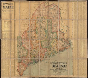
The National Publishing Company's 1900 census map of Maine : showing all counties, towns, railroads, cities, villages, post...
23.
New commercial, sportsmen's and route survey of Maine : showing all postoffices, railroads, electric roads, principal highways,...
24.
A new map of Maine
25.
North America : British provinces of New Brunswick, Nova Scotia, & part of Canada : compiled from recent surveys and adjusted...
26.
Province of Maine
27.
The province of Maine, from the best authorities
28.
Rand McNally official 1924 auto trails map Maine ; Rand McNally official 1924 auto trails map New Hampshire, Vermont
29.
Route and pictorial map of Maine
30.
State of Maine
31.
State of Maine
32.
An accurate map, of the District of Maine : being part of the commonwealth of Massachusetts
33.
An accurate map, of the district of Maine being part of the commonwealth of Massachusetts : compiled pursuant to an act of the...
34.
An accurate map, of the district of Maine being part of the commonwealth of Massachusetts : compiled pursuant to an act of the...
35.
The coast from St. Johns, New Brunswick, to Goldsborough Bay, Maine
36.
The coast of Maine from modern Portland to Desert Island
37.
The district of Main from the latest surveys
38.
Explorer's map & directory of the New England Coast : New London, Connecticut, to Passamaquoddy Bay, Canada : a comprehensive...
39.
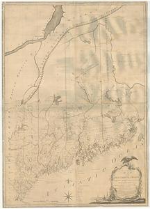
[Map of the area along the Saint Croix River in Maine and New Brunswick]
40.
Map of the District of Maine Massachusetts : compiled from actual surveys made by order of the General Court, and under the...
‹ Prev
Next ›
1
2
3
4
5
6
…
435
436


![[Map of the area along the Saint Croix River in Maine and New Brunswick]](https://bpldcassets.blob.core.windows.net/derivatives/images/commonwealth:6108vt00n/image_thumbnail_300.jpg)
