Toggle navigation
LMEC Home
Exhibitions
Georeferencing
Tools for Teachers
Collections
My Favorites
Sign Up / Log In
Search
Search the map portal
Map Collection
Map Collection
Map Sets
Search
Search
Search for
Search In
All Fields
Creator
Title
Subject
Place
Search All Digital Collections
Advanced Search
8561 Results
My Search
Start Over
More Like
commonwealth:b8516234t
Remove constraint More Like: commonwealth:b8516234t
Filter your Search
Place
North and Central America
5,856
United States
4,774
Massachusetts
2,053
Europe
1,359
Suffolk (county)
1,034
Boston
1,007
Canada
449
Asia
422
more
Place
»
Topic
Boston (Mass.)--Maps
577
United States--Maps
273
Real property--Massachusetts--Boston--Maps
174
Massachusetts--Maps
161
Landowners--Massachusetts--Boston--Maps
132
North America--Maps--Early works to 1800
103
New England--Maps
100
Europe--Maps
78
more
Topic
»
Date
Date range begin
–
Date range end
Current results range from
1482
to
2023
View distribution
Creator
United States. Hydrographic Office
594
O.H. Bailey & Co
148
Des Barres, Joseph F. W. (Joseph Frederick Wallet), 1722-1824
123
United States. Post Office Dept
120
Ptolemy, 2nd cent
100
Walling, Henry Francis, 1825-1888
94
Geological Survey (U.S.)
86
Jefferys, Thomas, -1771
85
more
Creator
»
Format
Maps/Atlases
8,502
Manuscripts
215
Prints
56
Books
36
Objects/Artifacts
10
Drawings/Illustrations
8
Posters
4
Georeferenced
Yes
869
No
7,692
Collection
Norman B. Leventhal Map & Education Center Collection
8,549
Boston and New England Maps
2,204
Urban Maps
1,936
Maritime Charts and Atlases
1,081
American Revolutionary War-Era Maps
627
Boston Redevelopment Authority Collection
87
American Antiquarian Society Collection
6
William L. Clements Library Collection
5
more
Collection
»
Available to use
No known restrictions
8,408
Creative Commons license
46
Search Constraints
Sort by relevance
relevance
title
date (asc)
date (desc)
Number of results to display per page
20 per page
10
per page
20
per page
50
per page
100
per page
View results as:
grid view
map view
Search Results
1741.
The Commonwealth of Connecticut
1742.
Communications entre l'Angleterre, l'Allemagne, et la France, par les chemins de fer Belges
1743.
Comparative map of Cape Cod Harbor showing physical changes between the survey of Maj. J.D. Graham in 1835, and the U.S. Coast...
1744.
Comparative map of distances between Paris & Cologne, and likewise between Dover and Cologne
1745.
Comparative map of distances between Paris & Cologne, and likewise between Dover and Cologne
1746.
Comparative view of the heights of the principal mountains &c. in the world
1747.
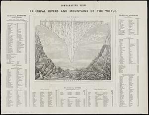
Comparative view of the principal rivers and mountains of the world
1748.
Compiled plan, showing Millers Creek and a portion of Charles River
1749.
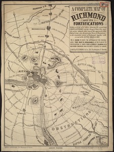
A complete map of Richmond and its fortifications within a circle of 12 miles showing the numerous forts, batteries and the...
1750.
Complete map of the rail roads and water courses in the United States & Canada
1751.
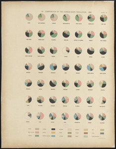
Composition of the foreign-born population : 1890
1752.
A comprehensive atlas geographical, historical & commercial [title page]
1753.
Compromise of 1850, September 6, 1850, vote on passage of Texas-New Mexico provisions
1754.
Le comté de Bourgogne, dit autrement Franche-comté conquise par le Roy, en moins de 15 jours de temps, dans le mois de...
1755.
Concord Junction, Mass : 1893
1756.
Connecticut
1757.
Connecticut
1758.
Connecticut
1759.
Connecticut
1760.
Connecticut
‹ Prev
Next ›
1
2
…
84
85
86
87
88
89
90
91
92
…
428
429


![A comprehensive atlas geographical, historical & commercial [title page]](https://bpldcassets.blob.core.windows.net/derivatives/images/commonwealth:3f463182f/image_thumbnail_300.jpg)