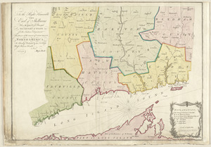
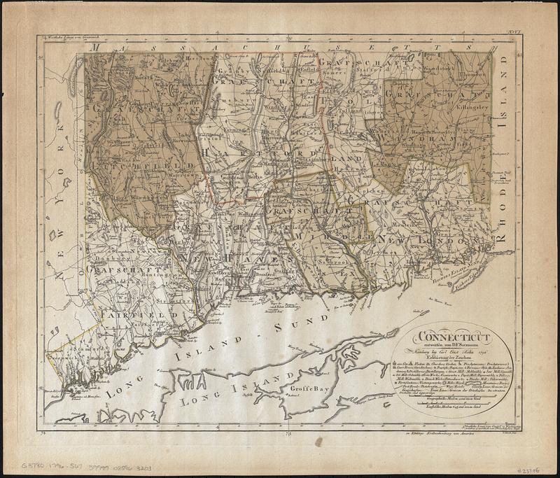
Connecticut
Item Information
- Title:
- Connecticut
- Cartographer:
- Sotzmann, D. F.
- Publisher:
- Bohn, Carl Ernst
- Contributor:
- Ebeling, Christoph Daniel, 1741-1817
- Engraver:
- Schmidt, Paulus (Engraver)
- Name on Item:
-
entworfen von D.F. Sotzmann ; P. Schmidt, sculp.
- Date:
-
1796
- Format:
-
Maps/Atlases
- Location:
-
Boston Public Library
Norman B. Leventhal Map & Education Center - Collection (local):
-
Norman B. Leventhal Map & Education Center Collection
- Subjects:
-
Connecticut--Maps--Early works to 1800
Connecticut--Administrative and political divisions--Maps--Early works to 1800
- Places:
-
Connecticut
- Extent:
- 1 map : hand color ; 35 x 43 cm
- Terms of Use:
-
No known copyright restrictions.
No known restrictions on use.
- Publisher:
-
Hamburg :
bey Carl Ernst Bohn
- Scale:
-
Scale approximately 1:375,000
- Language:
-
English
- Notes:
-
Relief shown by hachures.
Prime meridians: Greenwich and Washington.
Also shows county boundaries.
Place names in German and English.
In upper right margin: No. VI.
"Zu Ebelings Erdbeschreibung von Amerika."
Bar scales given in "Geographische Meilen 15 auf einen Grad" and "Englische meilen 69 4/25 auf einen Grad."
- Identifier:
-
06_01_017828
- Call #:
-
G3780 1796 .S67
- Barcode:
-
39999085963203