Search Constraints
Search Results
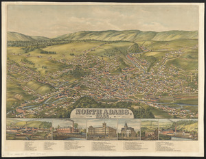
5702. North Adams, Mass.

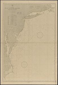
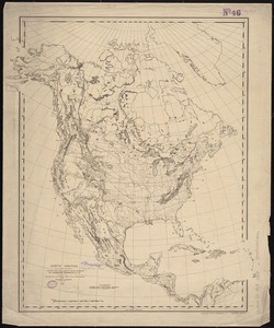
5703. North America

5704. North America

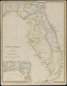
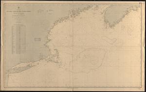
5707. North America : Florida

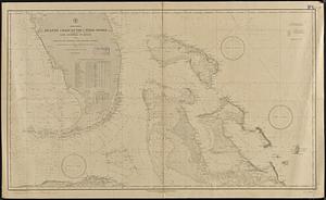
5708. North America


5710. North America


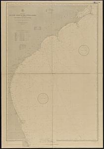
5713. North America

5714. North America

5715. North America