Toggle navigation
LMEC Home
Exhibitions
Georeferencing
Tools for Teachers
Collections
My Favorites
Sign Up / Log In
Search
Search the map portal
Map Collection
Map Collection
Map Sets
Search
Search
Search for
Search In
All Fields
Creator
Title
Subject
Place
Search All Digital Collections
Advanced Search
8780 Results
My Search
Start Over
More Like
commonwealth:9s161f71n
Remove constraint More Like: commonwealth:9s161f71n
Filter your Search
Place
North and Central America
6,011
United States
4,929
Massachusetts
2,090
Europe
1,396
Suffolk (county)
1,131
Boston
1,104
Canada
449
Asia
438
more
Place
»
Topic
Boston (Mass.)--Maps
606
United States--Maps
282
Real property--Massachusetts--Boston--Maps
253
Landowners--Massachusetts--Boston--Maps
170
Massachusetts--Maps
162
City planning--Massachusetts--Boston--Maps
113
North America--Maps--Early works to 1800
103
New England--Maps
102
more
Topic
»
Date
Date range begin
–
Date range end
Current results range from
1482
to
2023
View distribution
Creator
United States. Hydrographic Office
595
O.H. Bailey & Co
148
Des Barres, Joseph F. W. (Joseph Frederick Wallet), 1722-1824
123
United States. Post Office Dept
120
Boston Redevelopment Authority
113
Ptolemy, 2nd cent
100
Walling, Henry Francis, 1825-1888
94
Geological Survey (U.S.)
86
more
Creator
»
Format
Maps/Atlases
8,720
Manuscripts
215
Prints
56
Books
36
Objects/Artifacts
10
Drawings/Illustrations
8
Posters
5
Georeferenced
Yes
869
No
7,911
Collection
Norman B. Leventhal Map & Education Center Collection
8,696
Boston and New England Maps
2,283
Urban Maps
2,072
Maritime Charts and Atlases
1,083
American Revolutionary War-Era Maps
616
Boston Redevelopment Authority Collection
136
Massachusetts Real Estate Atlases
35
Applied Geographics, Inc. Records
2
Available to use
No known restrictions
8,603
Creative Commons license
47
Search Constraints
Sort by relevance
relevance
title
date (asc)
date (desc)
Number of results to display per page
20 per page
10
per page
20
per page
50
per page
100
per page
View results as:
grid view
map view
Search Results
4301.
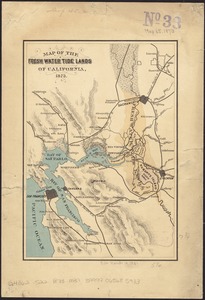
Map of the fresh water tide lands of California
4302.
[Map of the great Venango oil basin]
4303.
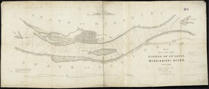
Map of the harbor of St. Louis, Mississippi River, Oct. 1837
4304.
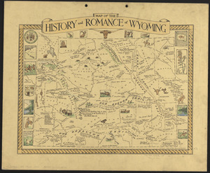
Map of the history and romance of Wyoming
4305.
A map of the history of New York state
4306.
Map of the Hudson River & Berkshire R. R. and its connections
4307.
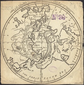
A map of the icy sea in which the several communications with the land waters and other new discoveries are exhibited
4308.
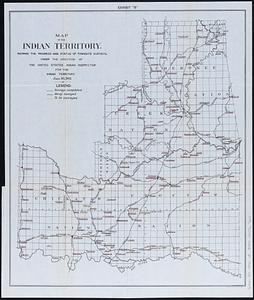
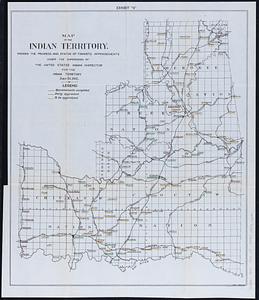
Map of the Indian Territory : showing the progress and status of townsite surveys, under the direction of the United States...
4309.
Map of the Indian Territory : showing the progress and status of townsite appraisements, under the supervision of the United...
4310.
A map of the inhabited part of Canada from the French surveys : with the frontiers of New York and New England from the large...
4311.
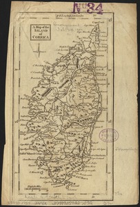
A map of the island of Corsica
4312.
A map of the island of Guadaloupe
4313.
Map of the island of Nantucket, including Tuckernuck
4314.
A map of the island of Puerto Rico
4315.
A map of the island of St. Domingo
4316.
Map of the island of Tangerina and Wild Island
4317.
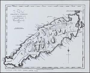
Map of the island of Tobago for the History of the West Indies
4318.
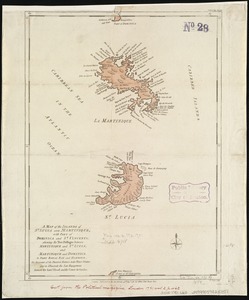
A map of the islands of St. Lucia and Martinique, with part of Dominica and St. Vincents : shewing the two passages between...
4319.
A map of the isle of Cuba : with the Bahama Islands, Gulf of Florida, and Windward Passage ; drawn from English and Spanish...
4320.
A map of the Isle of Wight Portsea Halinge, also the islands of Iarsey & Garnsey which are part of Hampshire
‹ Prev
Next ›
1
2
…
212
213
214
215
216
217
218
219
220
…
438
439
![[Map of the great Venango oil basin]](https://bpldcassets.blob.core.windows.net/derivatives/images/commonwealth:w9505s29m/image_thumbnail_300.jpg)