Toggle navigation
LMEC Home
Exhibitions
Georeferencing
Tools for Teachers
Collections
My Favorites
Sign Up / Log In
Search
Search the map portal
Map Collection
Map Collection
Map Sets
Search
Search
Search for
Search In
All Fields
Creator
Title
Subject
Place
Search All Digital Collections
Advanced Search
8780 Results
My Search
Start Over
More Like
commonwealth:9s161f71n
Remove constraint More Like: commonwealth:9s161f71n
Filter your Search
Place
North and Central America
6,011
United States
4,929
Massachusetts
2,090
Europe
1,396
Suffolk (county)
1,131
Boston
1,104
Canada
449
Asia
438
more
Place
»
Topic
Boston (Mass.)--Maps
606
United States--Maps
282
Real property--Massachusetts--Boston--Maps
253
Landowners--Massachusetts--Boston--Maps
170
Massachusetts--Maps
162
City planning--Massachusetts--Boston--Maps
113
North America--Maps--Early works to 1800
103
New England--Maps
102
more
Topic
»
Date
Date range begin
–
Date range end
Current results range from
1482
to
2023
View distribution
Creator
United States. Hydrographic Office
595
O.H. Bailey & Co
148
Des Barres, Joseph F. W. (Joseph Frederick Wallet), 1722-1824
123
United States. Post Office Dept
120
Boston Redevelopment Authority
113
Ptolemy, 2nd cent
100
Walling, Henry Francis, 1825-1888
94
Geological Survey (U.S.)
86
more
Creator
»
Format
Maps/Atlases
8,720
Manuscripts
215
Prints
56
Books
36
Objects/Artifacts
10
Drawings/Illustrations
8
Posters
5
Georeferenced
Yes
869
No
7,911
Collection
Norman B. Leventhal Map & Education Center Collection
8,696
Boston and New England Maps
2,283
Urban Maps
2,072
Maritime Charts and Atlases
1,083
American Revolutionary War-Era Maps
616
Boston Redevelopment Authority Collection
136
Massachusetts Real Estate Atlases
35
Applied Geographics, Inc. Records
2
Available to use
No known restrictions
8,603
Creative Commons license
47
Search Constraints
Sort by relevance
relevance
title
date (asc)
date (desc)
Number of results to display per page
20 per page
10
per page
20
per page
50
per page
100
per page
View results as:
grid view
map view
Search Results
4081.
A map of the British Empire in America with the French and Spanish settlements adjacent thereto
4082.
A map of the British Empire in America with the French and Spanish settlements adjacent thereto
4083.
A map of the British Empire in America with the French and Spanish settlements adjacent throughout
4084.
Map of the Brockton & Plymouth street railway
4085.
Map of the business center of Chicago
4086.
Map of the Canadian Rockies triangle tour of British Columbia, Alaska and the Yukon
4087.
Map of the canals and rail roads for transporting anthracite coal from the several coal fields to the city of New York
4088.
A map of the Cape de Verd Islands with the adjacent coast of Africa, the settlements of Senegal, Gambia and Goree, also a plan...
4089.
A map of the Cape Peninsula
4090.
Map of the Catskill Mountains
4091.
Map of the cemetery of Mount Auburn, Boston
4092.
Map of the central business district city of Boston showing the location of underground conduits
4093.
Map of the central business district of Boston
4094.
Map of the central portion of British Columbia
4095.
Map of the Chicago Terminal Transfer Railroad Company and connecting lines
4096.
Map of the Chicago Terminal Transfer Railroad Company and connections
4097.
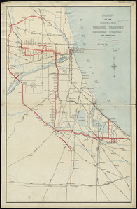
Map of the cities of Albany and Rensselaer and portions of Bath and East Greenbrush, New York
4098.
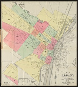
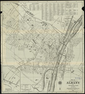
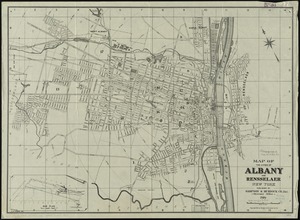
Map of the cities of Albany and Rensselaer, New York
4099.
Map of the cities of Albany and Rensselaer, New York
4100.
Map of the cities of Boston, Cambridge, Somerville and Chelsea, and the town of Brookline with parts of Newton, Malden and...
‹ Prev
Next ›
1
2
…
201
202
203
204
205
206
207
208
209
…
438
439