Toggle navigation
LMEC Home
Collections
My Favorites
Exhibitions
Georeferencing
Tools for Teachers
Sign Up / Log In
Search
Search the map portal
Search
Search
Search for
Search in
All Fields
Title
Subject
Place
Creator
Search All Digital Collections
Advanced Search
9000 Results
Search Constraints
My Search
Start Over
More like
commonwealth:9s161d89w
Remove constraint More like: commonwealth:9s161d89w
Filter your Search
Show filters
Hide filters
Place
North and Central America
6,173
United States
5,073
Massachusetts
2,181
Europe
1,419
Suffolk (county)
1,082
Boston
1,051
Canada
463
Asia
446
more
Place
»
Topic
Boston (Mass.)--Maps
597
United States--Maps
301
Real property--Massachusetts--Boston--Maps
179
Massachusetts--Maps
172
Landowners--Massachusetts--Boston--Maps
137
New England--Maps
109
North America--Maps--Early works to 1800
104
Europe--Maps
82
more
Topic
»
Creator
United States. Hydrographic Office
597
O.H. Bailey & Co
148
Des Barres, Joseph F. W. (Joseph Frederick Wallet), 1722-1824
122
United States. Post Office Dept
120
Geological Survey (U.S.)
100
Ptolemy, 2nd cent
100
Walling, Henry Francis, 1825-1888
94
Jefferys, Thomas, -1771
85
more
Creator
»
Format
Maps/Atlases
8,935
Manuscripts
215
Prints
56
Books
39
Objects/Artifacts
13
Drawings/Illustrations
8
Posters
5
Documents
4
more
Format
»
Georeferenced
Yes
965
No
8,035
Collection
Norman B. Leventhal Map & Education Center Collection
8,992
Boston and New England Maps
2,358
Urban Maps
2,075
Maritime Charts and Atlases
1,083
American Revolutionary War-Era Maps
622
Boston Redevelopment Authority Collection
87
Sidney R. Knafel Map Collection at Phillips Academy
6
Mapping Boston Collection
2
more
Collection
»
Available to use
No known restrictions
8,835
Creative Commons license
64
Sort
by relevance
relevance
title
date (asc)
date (desc)
recently added
Number of results to display per page
20
per page
per page
10
per page
20
per page
50
per page
100
per page
Search Results
101.
An accurate map of His Majesty's province of New-Hampshire in New England : taken from actual surveys of all the inhabited...
102.
An Accurate map of New Hampshire in New England, from a late survey
103.
An Accurate map of New York in North America, from a late survey
104.
An accurate map of North America : describing and distinguishing the British and Spanish dominions of this great continent;...
105.
An accurate map of North America : describing and distinguishing the British, Spanish and French dominions on this great...
106.
An accurate map of North and South Carolina with their Indian frontiers, shewing in a distinct manner all the mountains,...
107.
An accurate map of Rhode Island, part of Connecticut and Massachusets, shewing Admiral Arbuthnot's station in blocking up...
108.
An accurate map of the coast of Cape de Verde
109.
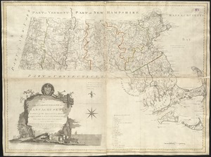
An accurate map of the Commonwealth of Massachusetts exclusive of the district of Maine : compiled pursuant to an Act of the...
110.
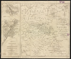
An accurate map of the country round Boston in New England from the best authorities
111.
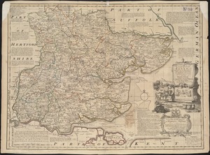
An accurate map of the county of Essex, divided into its hundreds
112.
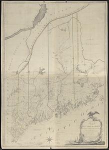
An accurate map of the district of Maine being part of the Commonwealth of Massachusetts : compiled pursuant to an act of the...
113.
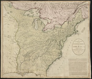
An accurate map of the United States of America, with part of the surrounding provinces agreeable to the Treaty of Peace of 1783
114.
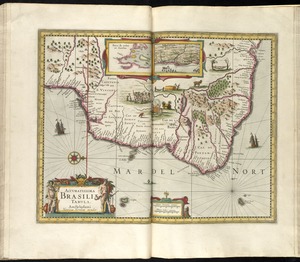
Accuratissima Brasiliae tabula
115.
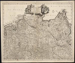
Accuratissima Circuli Saxoniae tabula quae est pars septentrionalis Germaniae
116.
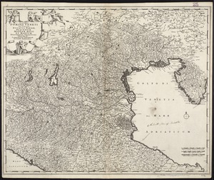
Accuratissima Dominii Veneti in Italia, Ducatus Parmae, Placentiae, Modenae Regii Et Mantuae, Episcopatus Tridentini Tabula...
117.
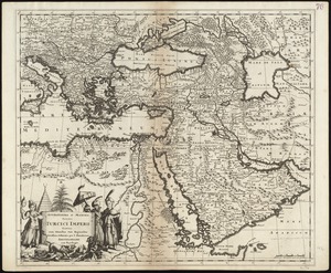
Accuratissima et maxima totius Turcici Imperii tabula cum omnibus suis regionibus novissima delineatio
118.
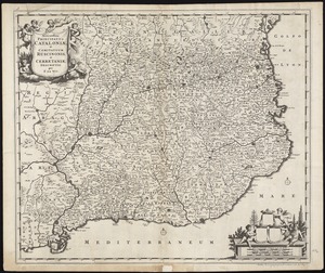
Accuratissima principatus Cataloniae, et comitatuum Ruscinonis, et Cerretaniae descriptio
119.
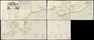
An actual survey of the sea coast from New York to the I. Cape Briton : with tables of the direct and thwart courses &...
120.
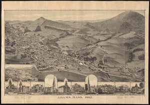
Adams, Mass : 1882
« Previous
Next »
1
2
3
4
5
6
7
8
9
10
…
449
450