Toggle navigation
LMEC Home
Exhibitions
Georeferencing
Tools for Teachers
Collections
My Favorites
Sign Up / Log In
Search
Search the map portal
Map Collection
Map Collection
Map Sets
Search
Search
Search for
Search In
All Fields
Creator
Title
Subject
Place
Search All Digital Collections
Advanced Search
8704 Results
My Search
Start Over
More Like
commonwealth:9s161961k
Remove constraint More Like: commonwealth:9s161961k
Filter your Search
Place
North and Central America
5,935
United States
4,852
Massachusetts
2,081
Europe
1,396
Suffolk (county)
1,046
Boston
1,019
Canada
449
Asia
438
more
Place
»
Topic
Boston (Mass.)--Maps
587
United States--Maps
282
Real property--Massachusetts--Boston--Maps
175
Massachusetts--Maps
163
Landowners--Massachusetts--Boston--Maps
133
North America--Maps--Early works to 1800
103
New England--Maps
102
Europe--Maps
79
more
Topic
»
Date
Date range begin
–
Date range end
Current results range from
1482
to
2023
View distribution
Creator
United States. Hydrographic Office
595
O.H. Bailey & Co
148
Des Barres, Joseph F. W. (Joseph Frederick Wallet), 1722-1824
123
United States. Post Office Dept
120
Ptolemy, 2nd cent
100
Walling, Henry Francis, 1825-1888
94
Geological Survey (U.S.)
87
Jefferys, Thomas, -1771
85
more
Creator
»
Format
Maps/Atlases
8,644
Manuscripts
215
Prints
56
Books
36
Objects/Artifacts
10
Drawings/Illustrations
8
Posters
5
Georeferenced
Yes
869
No
7,835
Collection
Norman B. Leventhal Map & Education Center Collection
8,696
Boston and New England Maps
2,234
Urban Maps
2,023
Maritime Charts and Atlases
1,082
American Revolutionary War-Era Maps
616
Boston Redevelopment Authority Collection
87
Massachusetts Real Estate Atlases
8
Applied Geographics, Inc. Records
1
more
Collection
»
Available to use
No known restrictions
8,554
Creative Commons license
47
Search Constraints
Sort by relevance
relevance
title
date (asc)
date (desc)
Number of results to display per page
20 per page
10
per page
20
per page
50
per page
100
per page
View results as:
grid view
map view
Search Results
21.
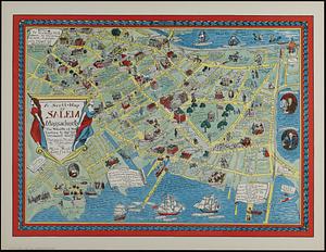
A Scott-Map of Salem Massachusetts : the wealth of the Indies to the utermost gulf!
22.
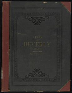
Atlas of the city of Beverly, Essex County, Massachusetts
23.
Atlas of the city of Beverly, Essex County, Massachusetts
24.
Atlas of the town of Beverly, Massachusetts : from official records, private plans and actual surveys
25.
Map of Beverly
26.
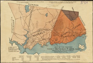
Map of the proposed town of Beverly Farms, Mass : presented by the Petitioners
27.
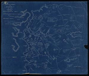
Plan of a part of Beverly in the Colony of the Massachusetts Bay
28.
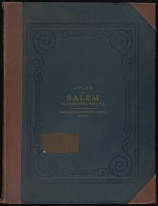
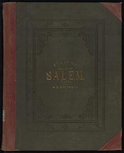
Atlas of the city of Salem, Massachusetts
29.
Atlas of the city of Salem, Massachusetts
30.
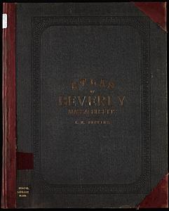
Atlas of the city of Beverly, Essex County, Massachusetts
31.
Atlas of the city of Beverly, Essex County, Massachusetts
32.
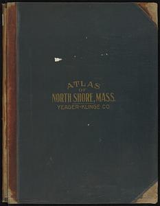
Atlas of the North Shore, Beverly to Magnolia, Essex Co., Massachusetts
33.
Atlas of the town of Beverly, Massachusetts
34.
Land use shading test plot shadeset PI and lu21-pi.lut
35.
Maps of Beverly
36.
The 100th anniversary map of Abraham Lincoln's visit to Massachusetts, September 11-23, 1848
37.
1630 shoreline
38.
1879. Progress map of the U.S. Geographical Surveys west of the 100th Meridian : prepared under the direction of 1st Lieut....
39.
19th annual convention of the National Association of Real Estate Boards : at Tulsa, June 7 to June 11 in 1926
40.
2005 significant U.S. hurricane strikes
‹ Prev
Next ›
1
2
3
4
5
6
…
435
436