Toggle navigation
LMEC Home
Exhibitions
Georeferencing
Tools for Teachers
Collections
My Favorites
Sign Up / Log In
Search
Search the map portal
Map Collection
Map Collection
Map Sets
Search
Search
Search for
Search In
All Fields
Creator
Title
Subject
Place
Search All Digital Collections
Advanced Search
9090 Results
My Search
Start Over
More Like
commonwealth:9c6808925
Remove constraint More Like: commonwealth:9c6808925
Filter your Search
Place
North and Central America
6,321
United States
5,239
Massachusetts
2,157
Suffolk (county)
1,441
Boston
1,414
Europe
1,396
Canada
449
Asia
438
more
Place
»
Topic
Boston (Mass.)--Maps
687
City planning--Massachusetts--Boston--Maps
418
United States--Maps
282
Urban renewal--Massachusetts--Boston--Maps
253
Real property--Massachusetts--Boston--Maps
252
Landowners--Massachusetts--Boston--Maps
169
Massachusetts--Maps
162
Buildings--Massachusetts--Boston--Maps
125
more
Topic
»
Date
Date range begin
–
Date range end
Current results range from
1482
to
2023
View distribution
Creator
United States. Hydrographic Office
595
Boston Redevelopment Authority
392
O.H. Bailey & Co
148
Des Barres, Joseph F. W. (Joseph Frederick Wallet), 1722-1824
123
United States. Post Office Dept
120
Ptolemy, 2nd cent
100
Walling, Henry Francis, 1825-1888
94
Geological Survey (U.S.)
86
more
Creator
»
Format
Maps/Atlases
9,029
Manuscripts
215
Prints
56
Books
36
Objects/Artifacts
10
Drawings/Illustrations
9
Posters
5
Georeferenced
Yes
870
No
8,220
Collection
Norman B. Leventhal Map & Education Center Collection
8,697
Boston and New England Maps
2,591
Urban Maps
2,378
Maritime Charts and Atlases
1,083
American Revolutionary War-Era Maps
620
Boston Redevelopment Authority Collection
443
Massachusetts Real Estate Atlases
34
William L. Clements Library Collection
3
more
Collection
»
Available to use
No known restrictions
8,909
Creative Commons license
49
Search Constraints
Sort by relevance
relevance
title
date (asc)
date (desc)
Number of results to display per page
20 per page
10
per page
20
per page
50
per page
100
per page
View results as:
grid view
map view
Search Results
61.
Waterfront land inventory South Boston : CRP port study
62.
Charlestown project no. Mass r-42 (GN) : existing circulation
63.
Charlestown project no. Mass r-42 (GN) : existing zoning
64.
Charlestown project no. Mass r-42 (GN) : proposed treatment areas and project boundaries
65.
Charlestown project no. Mass r-42 (GN) : population distribution
66.
Charlestown renewal area : locality map
67.
Charlestown renewal area : existing land use
68.
Charlestown urban renewal area r-42 : GNRP map no. 2
69.
Charlestown urban renewal area r-42 : GNRP map no. 1
70.
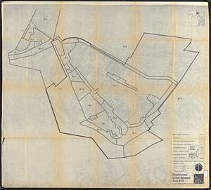
Charlestown urban renewal area r-55 : property map and perimeter boundaries
71.
Charlestown urban renewal area r-55 : proposed land use
72.
Charlestown urban renewal area r-55 : existing land use
73.
Charlestown urban renewal area r-55 : right of way adjustments
74.
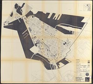
Charlestown urban renewal area r-55 : existing land use
75.
Charlestown urban renewal area r-55 : existing zoning
76.
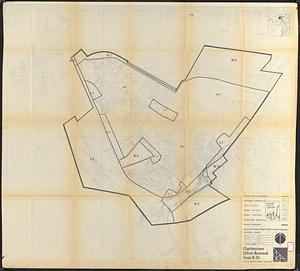
Charlestown urban renewal area r-55 : proposed zoning
77.
Charlestown Navy Yard area
78.
Infrastructure around Tobin Bridge/US route 1 in Charlestown
79.
Plan of Boston
80.
Shipyard Park phase 3 : Boston Naval Shipyard at Charlestown : schematic design
‹ Prev
Next ›
1
2
3
4
5
6
7
8
…
454
455