Search Constraints
Search Results
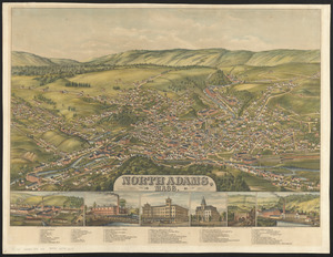
5502. North Adams, Mass.

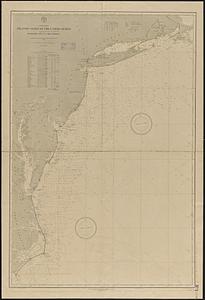
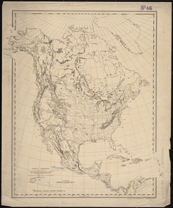
5503. North America

5504. North America

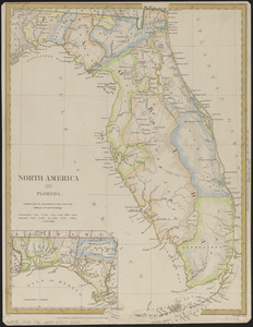
5507. North America : Florida

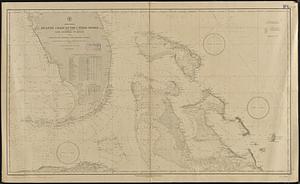
5508. North America


5510. North America


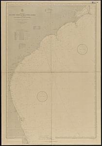
5513. North America

5514. North America

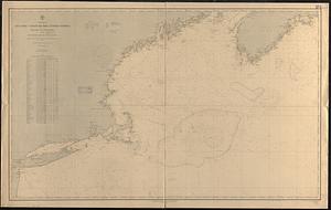
5515. North America