Toggle navigation
LMEC Home
Exhibitions
Georeferencing
Tools for Teachers
Collections
My Favorites
Sign Up / Log In
Search
Search the map portal
Map Collection
Map Collection
Map Sets
Search
Search
Search for
Search In
All Fields
Creator
Title
Subject
Place
Search All Digital Collections
Advanced Search
404 Results
My Search
Start Over
More Like
commonwealth:7h14cx372
Remove constraint More Like: commonwealth:7h14cx372
Filter your Search
Place
North and Central America
401
United States
395
Suffolk (county)
391
Boston
390
Massachusetts
53
Roxbury
40
Downtown Boston
38
South End
38
more
Place
»
Topic
City planning--Massachusetts--Boston--Maps
352
Urban renewal--Massachusetts--Boston--Maps
232
Boston (Mass.)--Maps
111
Land use--Massachusetts--Boston--Maps
96
Buildings--Massachusetts--Boston--Maps
73
Real property--Massachusetts--Boston--Maps
45
Central business districts--Massachusetts--Boston--Maps
40
Roxbury (Boston, Mass.)--Maps
40
more
Topic
»
Date
Date range begin
–
Date range end
Current results range from
1835
to
2003
View distribution
Creator
Boston Redevelopment Authority
331
Downtown Waterfront Corporation
10
Victor Gruen Associates
10
Charles A. Maguire and Associates
5
I.M. Pei & Associates
5
Sasaki Associates
5
Boston (Mass.). Water and Sewer Commission
4
Camp, Dresser & McKee
4
more
Creator
»
Format
Maps/Atlases
404
Manuscripts
1
Prints
1
Georeferenced
Yes
5
No
399
Collection
Boston and New England Maps
397
Urban Maps
388
Boston Redevelopment Authority Collection
387
Norman B. Leventhal Map Center Collection
18
Available to use
No known restrictions
403
Search Constraints
Sort by relevance
relevance
title
date (asc)
date (desc)
Number of results to display per page
50 per page
10
per page
20
per page
50
per page
100
per page
View results as:
grid view
map view
Search Results
1.
Herald Street improvements
2.
Land use New York streets - South Cove 1953
3.
Relationship of TNEMC development plan area to New York streets land assembly and redevelopment project
4.
South Cove : property status and unit ownership
5.
South Cove project no. Mass r- : existing land use
6.
South Cove project no. Mass. r- : existing building condition
7.
South Cove property ownership 1950
8.
South Cove property ownership 1962
9.
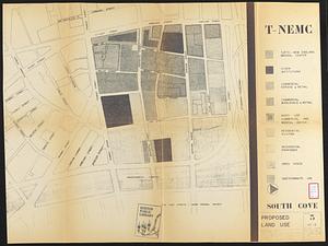
South Cove proposed land use
10.
South Cove urban renewal area Massachusetts R-92 : illustrative site plan
11.
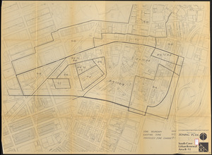
South Cove urban renewal area R-92 : zoning plan
12.
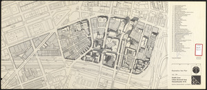
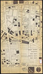
T-N.E.M.C. development area existing building condition
13.
T-N.E.M.C. properties acquired 1945-58
14.
Plan of estates on Suffolk St. District : belonging to the City of Boston : to be sold at public auction, Dec. 23rd 1871
15.
Plan of estates on Suffolk St. district : belonging to the City of Boston : to be sold at public auction on Saturday Dec. 16th...
16.
[Plan of lots in Chinatown, between Broad and Front Streets, and Beach and Orange Streets, Boston]
17.
[Plan of lots in Chinatown (Boston), between Avery and Eliot Streets, and Tremont Street and Harrison Avenue]
18.
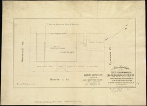
Plan of the estate of late Doct. John W. Warren, No. 89 Harrison Avenue, cor. of Kneeland St. & Plymouth Pl. to be sold at...
19.
1975 general land use plan
20.
Adams Nervine Asylum
21.
Aerial photo of Charlestown, Massachusetts
22.
Asia, South China Sea, Mui Da Nang to Shenquan Gang including Hainan Dao and Parcel Islands
23.
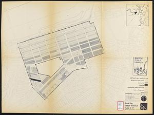
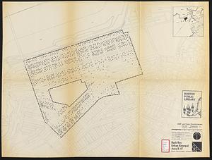
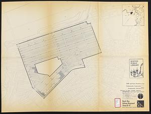
Back Bay project no. Mass R-47
24.
Back Bay project no. Mass. R-47 : police signal system, fire alarm system and M.T.A. facilities
25.
Back Bay study
26.
Back Bay study landscape plan
27.
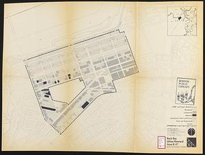
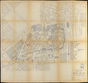
Back Bay urban renewal area r-47 : existing land use
28.
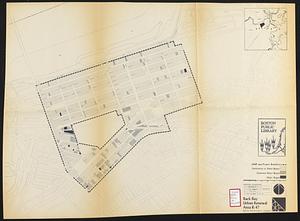
Back Bay urban renewal area r-47 : land use plan
29.
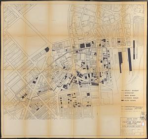
Back Bay urban renewal area r-47 : building conditions
30.
Back Bay urban renewal area r-47 : existing land use
31.
Back Bay urban renewal area r-47 : building conditions
32.
Back Bay urban renewal area r-47 : community facilities & circulation plan
33.
Back Bay urban renewal area r-47 : land use plan
34.
Back Bay urban renewal area r-47 : existing circulation
35.
Back Bay urban renewal area r-47 : proposed land use
36.
Back Bay urban renewal area r-47 : existing land use
37.
Back Bay urban renewal area r-47 : building conditions
38.
Back Bay urban renewal area r-47 : existing population density
39.
Back Bay urban renewal area r-47 : proposed treatment and title 1 projects
40.
Back Bay urban renewal area r-47 : existing and proposed community facilities
41.
Back Bay zoning district map
42.
Basement plan of terminal station at Boston, Massachusetts, for the N.Y.N.H & H. and B. & A. railroads
43.
Blue Hill Avenue commercial strip
44.
Boston city map & guide to the Freedom Trail & national historical park
45.
Boston Harbor : challenges and opportunities for the 1980's
46.
Boston proper
47.
Boston public schools and police reporting areas
48.
Boston thorofare plan existing routes and proposals
49.
Boston University, Charles River campus master plan
50.
Boston urban wilds
‹ Prev
Next ›
1
2
3
4
5
…
8
9


![[Plan of lots in Chinatown, between Broad and Front Streets, and Beach and Orange Streets, Boston]](https://bpldcassets.blob.core.windows.net/derivatives/images/commonwealth:9s161h46q/image_thumbnail_300.jpg)
![[Plan of lots in Chinatown (Boston), between Avery and Eliot Streets, and Tremont Street and Harrison Avenue]](https://bpldcassets.blob.core.windows.net/derivatives/images/commonwealth:cj82kz565/image_thumbnail_300.jpg)