Toggle navigation
LMEC Home
Exhibitions
Georeferencing
Tools for Teachers
Collections
My Favorites
Sign Up / Log In
Search
Search the map portal
Map Collection
Map Collection
Map Sets
Search
Search
Search for
Search In
All Fields
Creator
Title
Subject
Place
Search All Digital Collections
Advanced Search
8719 Results
My Search
Start Over
More Like
commonwealth:7h149z475
Remove constraint More Like: commonwealth:7h149z475
Filter your Search
Place
North and Central America
5,950
United States
4,866
Massachusetts
2,080
Europe
1,396
Suffolk (county)
1,046
Boston
1,019
Canada
453
Asia
438
more
Place
»
Topic
Boston (Mass.)--Maps
586
United States--Maps
282
Real property--Massachusetts--Boston--Maps
175
Massachusetts--Maps
163
Landowners--Massachusetts--Boston--Maps
133
New England--Maps
105
North America--Maps--Early works to 1800
103
Europe--Maps
79
more
Topic
»
Date
Date range begin
–
Date range end
Current results range from
1482
to
2023
View distribution
Creator
United States. Hydrographic Office
595
O.H. Bailey & Co
148
Des Barres, Joseph F. W. (Joseph Frederick Wallet), 1722-1824
123
United States. Post Office Dept
120
Ptolemy, 2nd cent
100
Walling, Henry Francis, 1825-1888
94
Geological Survey (U.S.)
90
Jefferys, Thomas, -1771
85
more
Creator
»
Format
Maps/Atlases
8,659
Manuscripts
218
Prints
56
Books
36
Objects/Artifacts
10
Drawings/Illustrations
8
Posters
5
Georeferenced
Yes
869
No
7,850
Collection
Norman B. Leventhal Map & Education Center Collection
8,700
Boston and New England Maps
2,237
Urban Maps
2,023
Maritime Charts and Atlases
1,083
American Revolutionary War-Era Maps
633
Boston Redevelopment Authority Collection
87
Maps from AAS
8
William L. Clements Library Collection
6
more
Collection
»
Available to use
No known restrictions
8,558
Creative Commons license
48
Search Constraints
Sort by relevance
relevance
title
date (asc)
date (desc)
Number of results to display per page
20 per page
10
per page
20
per page
50
per page
100
per page
View results as:
grid view
map view
Search Results
6441.
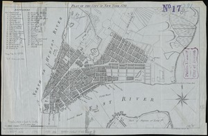
Plan of the city of New York, 1791
6442.
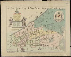
A plan of the city of New York from an actual survey
6443.
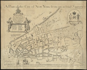
A plan of the city of New York from an actual survey
6444.
A plan of the city of New York from an actual survey
6445.
A plan of the city of New-York
6446.
A plan of the city of New-York & its environs to Greenwich, on the North or Hudsons River, and to Crown Point, on the East or...
6447.
Plan of the city of Norwich, New London County, Connt
6448.
A plan of the city of Philadelphia, the capital of Pennsylvania, from an actual survey
6449.
Plan of the city of Providence
6450.
Plan of the city of Quebec : shewing the portions destroyed by the two great fires, May 28th & June 28th, 1845
6451.
Plan of the city of San Domingo
6452.
Plan of the city of St. Louis
6453.
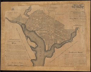
Plan of the city of Washington : now building for the metropolis of America, and established as the permanent residence of...
6454.
Plan of the city of Washington, in the territory of Columbia, ceded by the States of Virginia and Maryland to the United States...
6455.
Plan of the city of Washington in the territory of Columbia, ceded by the states of Virginia and Maryland to the United States...
6456.
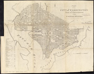
Plan of the city of Washington, seat of government of the United States
6457.
Plan of the Coffin Estate, corner of Summer and Chauncy Streets : to be sold by public auction on Wednesday April 26th 1856 at...
6458.
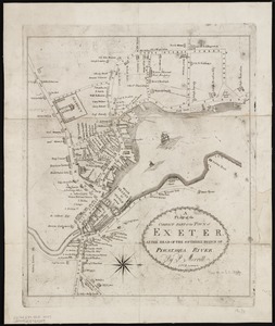
A plan of the compact part of the town of Exeter, at the head of the southerly branch of Piscataqua River
6459.
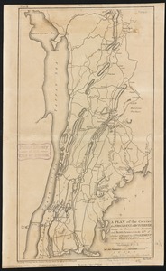
A plan of the country from Frogspoint to Croton River shewing the positions of the American and British armies from the 12th of...
6460.
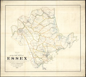
Plan of the county of Essex : compiled from the original furnished by the state and corrected under the direction of James...
‹ Prev
Next ›
1
2
…
319
320
321
322
323
324
325
326
327
…
435
436


![A plan of the city of New-York & its environs to Greenwich, on the North or Hudsons River, and to Crown Point, on the East or Sound River, shewing the several streets, publick buildings, docks, fort & battery, with the true form & course of the commanding grounds, with and without the town : survey'd in the winter, 1775 [i.e. 1766]](https://bpldcassets.blob.core.windows.net/derivatives/images/commonwealth:6t053q479/image_thumbnail_300.jpg)