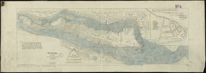
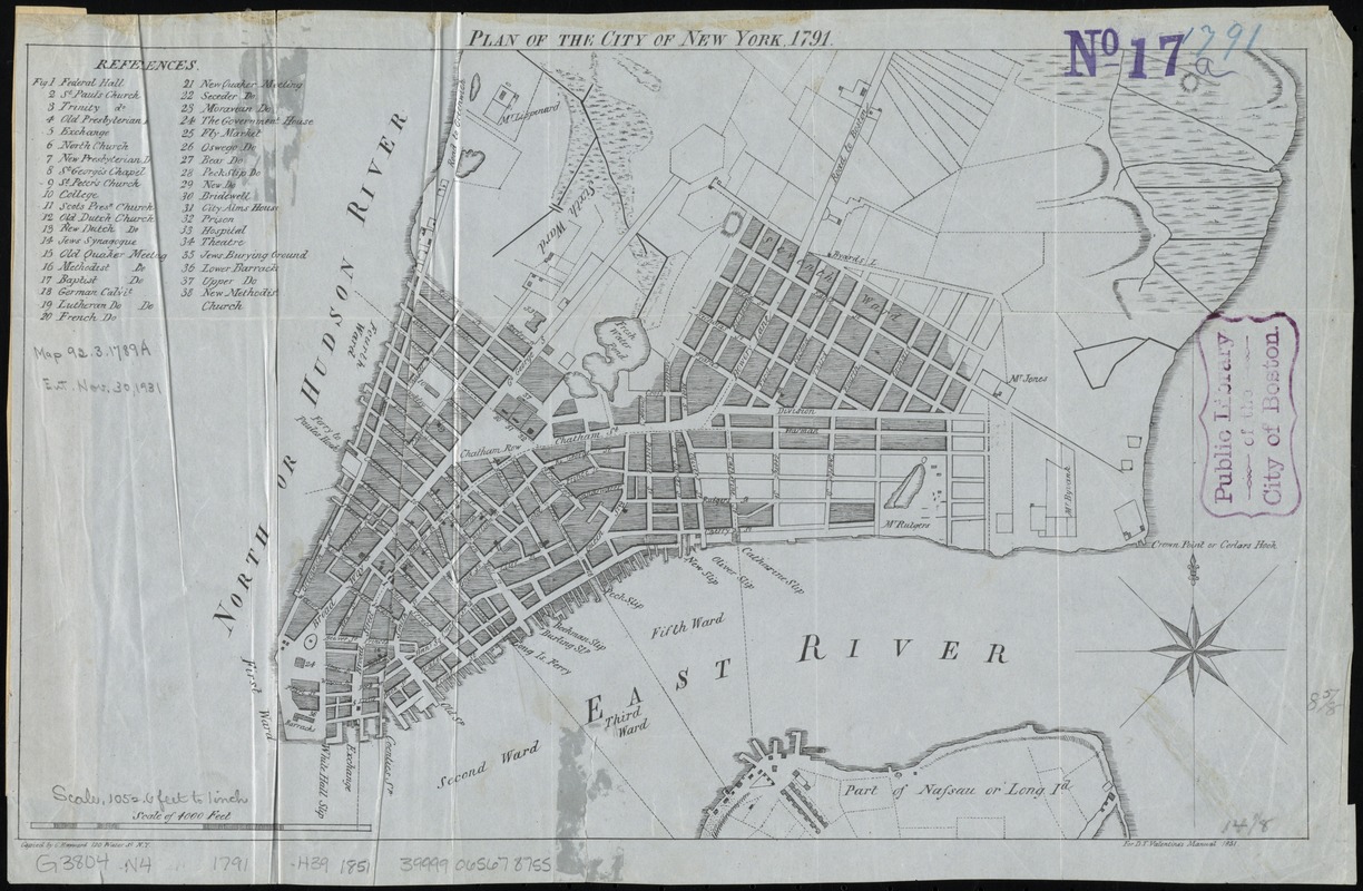
Plan of the city of New York, 1791
Item Information
- Title:
- Plan of the city of New York, 1791
- Creator:
- Hayward, George, approximately 1800-
- Name on Item:
-
copied by G. Hayward, 120 Water St. N.Y.
- Date:
-
[1851]
- Format:
-
Maps/Atlases
- Location:
-
Boston Public Library
Norman B. Leventhal Map & Education Center - Collection (local):
-
Norman B. Leventhal Map & Education Center Collection
- Subjects:
-
New York (N.Y.)--Maps--Early works to 1800--Facsimiles
New York (N.Y.)--Administrative and political divisions--Maps--Early works to 1800--Facsimiles
- Places:
-
New YorkNew York
- Extent:
- 1 map ; 22 x 37 cm
- Terms of Use:
-
No known copyright restrictions.
No known restrictions on use.
- Publisher:
-
[New York] :
[Common Council]
- Scale:
-
Scale [ca. 1:13,000]
- Language:
-
English
- Notes:
-
For D.T. Valentine's Manual, 1851.
Includes index to buildings.
Originally published: [New York : Printed for the editor, by T. and J. Swords, No. 27, William Street, 1791], in: The New-York directory and register for the year 1791.
- Notes (date):
-
This date is inferred.
- Identifier:
-
06_01_010779
- Call #:
-
G3804.N4:2M3 1791 .H39 1851
- Barcode:
-
39999065678755