Toggle navigation
LMEC Home
Exhibitions
Georeferencing
Tools for Teachers
Collections
My Favorites
Sign Up / Log In
Search
Search the map portal
Map Collection
Map Collection
Map Sets
Search
Search
Search for
Search In
All Fields
Creator
Title
Subject
Place
Search All Digital Collections
Advanced Search
8651 Results
My Search
Start Over
More Like
commonwealth:7h149v69k
Remove constraint More Like: commonwealth:7h149v69k
Filter your Search
Place
North and Central America
5,890
United States
4,805
Massachusetts
2,068
Europe
1,392
Suffolk (county)
1,041
Boston
1,014
Canada
453
Asia
437
more
Place
»
Topic
Boston (Mass.)--Maps
582
United States--Maps
279
Real property--Massachusetts--Boston--Maps
175
Massachusetts--Maps
161
Landowners--Massachusetts--Boston--Maps
133
North America--Maps--Early works to 1800
103
New England--Maps
101
Europe--Maps
79
more
Topic
»
Date
Date range begin
–
Date range end
Current results range from
1482
to
2023
View distribution
Creator
United States. Hydrographic Office
595
O.H. Bailey & Co
148
Des Barres, Joseph F. W. (Joseph Frederick Wallet), 1722-1824
122
United States. Post Office Dept
120
Ptolemy, 2nd cent
100
Walling, Henry Francis, 1825-1888
94
Geological Survey (U.S.)
86
Jefferys, Thomas, -1771
85
more
Creator
»
Format
Maps/Atlases
8,591
Manuscripts
215
Prints
56
Books
36
Objects/Artifacts
10
Drawings/Illustrations
8
Posters
5
Georeferenced
Yes
869
No
7,782
Collection
Norman B. Leventhal Map & Education Center Collection
8,646
Boston and New England Maps
2,221
Urban Maps
1,992
Maritime Charts and Atlases
1,082
American Revolutionary War-Era Maps
619
Boston Redevelopment Authority Collection
87
Library and Archives Canada Collection
4
Richard H. Brown Revolutionary War Map Collection at Mount Vernon
1
Available to use
No known restrictions
8,504
Creative Commons license
48
Search Constraints
Sort by relevance
relevance
title
date (asc)
date (desc)
Number of results to display per page
20 per page
10
per page
20
per page
50
per page
100
per page
View results as:
grid view
map view
Search Results
1.
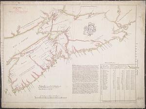
[Port Shediack and Cocagne]
2.
Bay of Chaleurs
3.
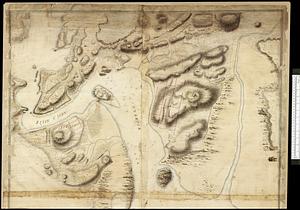
[Chart of the coast of Quebec from the Riviere St. Jean to Grand Hermine Bay]
4.
[Chart of the gulf and river of St. Lawrence]
5.
Chart of the Streights of Belle Isle
6.
Harbour and bay of Gaspee : Maul Bay
7.
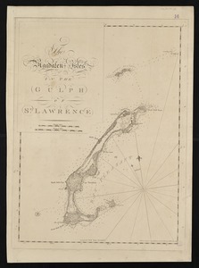
The Magdalen Isles in the Gulph of St. Lawrence
8.
Miramichi Bay
9.
Carta particolare della terra nuoua con la Gran Baia et il Fiume Grande della Canida
10.
New Found Land, St. Laurence Bay, the fishing banks, Acadia, and part of New Scotland
11.
Map showing land grants to the east of St. John
12.
A plan of part of the province of New Brunswick, with the adjacent parts of the province of Lower Canada, and the territory of...
13.
Plan of part of the Province of Nova Scotia or Accadie
14.
Plan of the city and harbour of St. John in the Province of New Brunswick with a project for its defence, and shewing the...
15.
The coast of New Schotland, New England, the gulph and river of St. Laurence : the islands of New Foundland, Cape Breton, St....
16.
The 100th anniversary map of Abraham Lincoln's visit to Massachusetts, September 11-23, 1848
17.
1630 shoreline
18.
1879. Progress map of the U.S. Geographical Surveys west of the 100th Meridian : prepared under the direction of 1st Lieut....
19.
1903 Map of Salem and surrounding places
20.
19th annual convention of the National Association of Real Estate Boards : at Tulsa, June 7 to June 11 in 1926
‹ Prev
Next ›
1
2
3
4
5
…
432
433
![[Port Shediack and Cocagne]](https://bpldcassets.blob.core.windows.net/derivatives/images/commonwealth:ws859h35r/image_thumbnail_300.jpg)

![[Chart of the coast of Quebec from the Riviere St. Jean to Grand Hermine Bay]](https://bpldcassets.blob.core.windows.net/derivatives/images/commonwealth:7h149v50v/image_thumbnail_300.jpg)
![[Chart of the gulf and river of St. Lawrence]](https://bpldcassets.blob.core.windows.net/derivatives/images/commonwealth:7h149v39v/image_thumbnail_300.jpg)