Toggle navigation
LMEC Home
Exhibitions
Georeferencing
Tools for Teachers
Collections
My Favorites
Sign Up / Log In
Search
Search the map portal
Map Collection
Map Collection
Map Sets
Search
Search
Search for
Search In
All Fields
Creator
Title
Subject
Place
Search All Digital Collections
Advanced Search
9052 Results
My Search
Start Over
More Like
commonwealth:7d27c9549
Remove constraint More Like: commonwealth:7d27c9549
Filter your Search
Place
North and Central America
6,283
United States
5,201
Massachusetts
2,155
Suffolk (county)
1,403
Europe
1,396
Boston
1,376
Canada
449
Asia
438
more
Place
»
Topic
Boston (Mass.)--Maps
677
City planning--Massachusetts--Boston--Maps
418
United States--Maps
282
Urban renewal--Massachusetts--Boston--Maps
252
Real property--Massachusetts--Boston--Maps
217
Massachusetts--Maps
162
Landowners--Massachusetts--Boston--Maps
136
North America--Maps--Early works to 1800
103
more
Topic
»
Date
Date range begin
–
Date range end
Current results range from
1482
to
2023
View distribution
Creator
United States. Hydrographic Office
595
Boston Redevelopment Authority
390
O.H. Bailey & Co
148
Des Barres, Joseph F. W. (Joseph Frederick Wallet), 1722-1824
123
United States. Post Office Dept
120
Ptolemy, 2nd cent
100
Walling, Henry Francis, 1825-1888
94
Geological Survey (U.S.)
86
more
Creator
»
Format
Maps/Atlases
8,991
Manuscripts
215
Prints
56
Books
36
Objects/Artifacts
10
Drawings/Illustrations
9
Posters
5
Georeferenced
Yes
870
No
8,182
Collection
Norman B. Leventhal Map & Education Center Collection
8,696
Boston and New England Maps
2,586
Urban Maps
2,373
Maritime Charts and Atlases
1,083
American Revolutionary War-Era Maps
620
Boston Redevelopment Authority Collection
438
William L. Clements Library Collection
3
Mapping Boston Collection
2
more
Collection
»
Available to use
No known restrictions
8,904
Creative Commons license
49
Search Constraints
Sort by relevance
relevance
title
date (asc)
date (desc)
Number of results to display per page
20 per page
10
per page
20
per page
50
per page
100
per page
View results as:
grid view
map view
Search Results
2921.
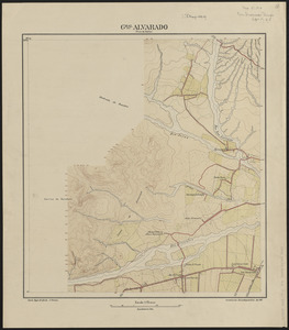
Gral. Alvarado (prov. de Salta)
2922.
The grand bay of Nipe on the north side of Cuba from Spanish draughts ; Plan of Puerto de Baracoa
2923.
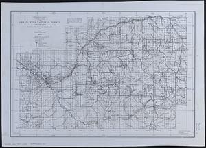
Grand Mesa National Forest, Colorado
2924.
Grand theatre de la guerre en Amerique suivant les plus nouvelles observations des Espagnols, Anglois, François & Hollandois
2925.
Les grandes et petites isles Antilles, et les isles Lucayes avec une partie de la mer du Nord
2926.
Graniteville, Mass : 1886
2927.
Grant County, Wis.
2928.
Grant's campaign war map : supplement : 25 miles around Richmond
2929.
The Graphic map of Bulgaria, eastern Roumelia, the Turkish Empire in Europe, etc., according to the Treaty of Berlin
2930.
The graphic map of European possessions in Africa
2931.
The Graphic parliamentary map showing members returned for county divisions and boroughs : their political party, and the...
2932.
Gray's new map of Clay Center, Clay County, Kansas
2933.
The Great Bahama Bank from Great Exuma Id. to New Providence Id.
2934.
The Great Bahama Bank, from Great Isaac to 23°40' N latitude
2935.
The Great Bahama Bank, from Old Bahama Channel to Exuma
2936.
The Great Bahama Bank with its islands cays and channels
2937.
Great Barrington, Mass
2938.
Great Britain, her natural & industrial resources
2939.
Great circle airways
2940.
Great circle sailing chart of the Indian Ocean
‹ Prev
Next ›
1
2
…
143
144
145
146
147
148
149
150
151
…
452
453