Toggle navigation
LMEC Home
Exhibitions
Georeferencing
Tools for Teachers
Collections
My Favorites
Sign Up / Log In
Search
Search the map portal
Map Collection
Map Collection
Map Sets
Search
Search
Search for
Search In
All Fields
Creator
Title
Subject
Place
Search All Digital Collections
Advanced Search
8707 Results
My Search
Start Over
More Like
commonwealth:6t053q80b
Remove constraint More Like: commonwealth:6t053q80b
Filter your Search
Place
North and Central America
5,932
United States
4,847
Massachusetts
2,079
Europe
1,396
Suffolk (county)
1,046
Boston
1,019
Canada
450
Asia
438
more
Place
»
Topic
Boston (Mass.)--Maps
586
United States--Maps
282
Real property--Massachusetts--Boston--Maps
175
Massachusetts--Maps
162
Landowners--Massachusetts--Boston--Maps
133
North America--Maps--Early works to 1800
108
New England--Maps
102
Europe--Maps
79
more
Topic
»
Date
Date range begin
–
Date range end
Current results range from
1482
to
2023
View distribution
Creator
United States. Hydrographic Office
595
O.H. Bailey & Co
148
Des Barres, Joseph F. W. (Joseph Frederick Wallet), 1722-1824
123
United States. Post Office Dept
120
Ptolemy, 2nd cent
100
Walling, Henry Francis, 1825-1888
94
Jefferys, Thomas, -1771
87
Geological Survey (U.S.)
86
more
Creator
»
Format
Maps/Atlases
8,647
Manuscripts
218
Prints
56
Books
36
Objects/Artifacts
10
Drawings/Illustrations
8
Posters
5
Georeferenced
Yes
870
No
7,837
Collection
Norman B. Leventhal Map & Education Center Collection
8,694
Boston and New England Maps
2,233
Urban Maps
2,023
Maritime Charts and Atlases
1,083
American Revolutionary War-Era Maps
629
Boston Redevelopment Authority Collection
87
Richard H. Brown Revolutionary War Map Collection at Mount Vernon
5
MacLean Collection Map Library
3
more
Collection
»
Available to use
No known restrictions
8,552
Creative Commons license
55
Search Constraints
Sort by relevance
relevance
title
date (asc)
date (desc)
Number of results to display per page
20 per page
10
per page
20
per page
50
per page
100
per page
View results as:
grid view
map view
Search Results
4321.
A map of the State of New York
4322.
Map of the State of New York with part of the states of Pennsylvania, New Jersey &c
4323.
Map of the State of New-York : showing its water and rail road lines, Jany. 1854
4324.
Map of the State of New-York exhibiting the several towns and counties together with the population as determined by the census...
4325.
Map of the state of Ohio
4326.
A map of the state of Pennsylvania
4327.
A map of the State of Rhode Island
4328.
Map of the State of Rhode Island and Providence Plantations
4329.
Map of the State of Rhode Island, and Providence Plantations
4330.
A map of the State of Vermont
4331.
Map of the State of Virginia
4332.
Map of the State of Virginia
4333.
Map of the state of Washington
4334.
Map of the state of Wisconsin
4335.
Map of the states of Maine, New Hampshire, Vermont, Massachusetts, Connecticut & Rhode Island
4336.
Map of the states of Ohio, Indiana and Illinois with the settled parts of Michigan & Wisconsin
4337.
Map of the submarine telegraph between America & Europe, with its various communications on the two continents
4338.
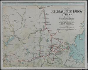
Map of the suburban street railway systems : including Newton Street Railway, Lexington and Boston, Newton and Boston, Natick...
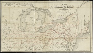
4339.
Map of the Sunbury and Erie Rail Road and its connections
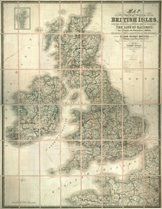
4340.
Map of the superficial geology of the British Isles with the physical and topographical features, the line of railways
‹ Prev
Next ›
1
2
…
213
214
215
216
217
218
219
220
221
…
435
436