Search Constraints
Search Results

7681. State of Florida

7682. State of Idaho

7683. State of Illinois

7684. State of Illinois

7685. State of Illinois


7687. State of Indiana

7688. State of Indiana

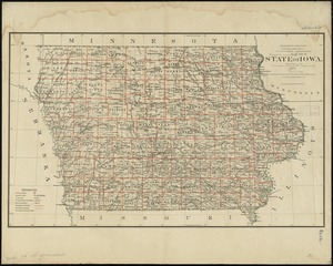
7690. State of Iowa

7691. State of Iowa

7692. State of Kansas

7693. State of Kansas


7696. State of Louisiana


7698. State of Maine

