Toggle navigation
LMEC Home
Exhibitions
Georeferencing
Tools for Teachers
Collections
My Favorites
Sign Up / Log In
Search
Search the map portal
Map Collection
Map Collection
Map Sets
Search
Search
Search for
Search In
All Fields
Creator
Title
Subject
Place
Search All Digital Collections
Advanced Search
8775 Results
My Search
Start Over
More Like
commonwealth:6t053p17c
Remove constraint More Like: commonwealth:6t053p17c
Filter your Search
Place
North and Central America
6,006
United States
4,916
Massachusetts
2,092
Europe
1,396
Suffolk (county)
1,048
Boston
1,021
Canada
458
Asia
438
more
Place
»
Topic
Boston (Mass.)--Maps
587
United States--Maps
282
Real property--Massachusetts--Boston--Maps
175
Massachusetts--Maps
162
Landowners--Massachusetts--Boston--Maps
133
North America--Maps--Early works to 1800
106
New England--Maps
102
New England--Maps--Early works to 1800
97
more
Topic
»
Date
Date range begin
–
Date range end
Current results range from
1482
to
2023
View distribution
Creator
United States. Hydrographic Office
595
O.H. Bailey & Co
148
Des Barres, Joseph F. W. (Joseph Frederick Wallet), 1722-1824
123
United States. Post Office Dept
120
Ptolemy, 2nd cent
100
Walling, Henry Francis, 1825-1888
94
Jefferys, Thomas, -1771
88
Geological Survey (U.S.)
86
more
Creator
»
Format
Maps/Atlases
8,715
Manuscripts
218
Prints
56
Books
36
Objects/Artifacts
10
Drawings/Illustrations
8
Posters
5
Georeferenced
Yes
876
No
7,899
Collection
Norman B. Leventhal Map & Education Center Collection
8,720
Boston and New England Maps
2,246
Urban Maps
2,023
Maritime Charts and Atlases
1,086
American Revolutionary War-Era Maps
664
Boston Redevelopment Authority Collection
87
Mapping Boston Collection
24
Sidney R. Knafel Map Collection at Phillips Academy
20
more
Collection
»
Available to use
No known restrictions
8,555
Creative Commons license
92
Search Constraints
Sort by relevance
relevance
title
date (asc)
date (desc)
Number of results to display per page
20 per page
10
per page
20
per page
50
per page
100
per page
View results as:
grid view
map view
Search Results
3101.
Johnson's new illustrated family atlas of the world, with physical geography, and with descriptions geographical, statistical,...
3102.
Johnson's new rail road & county copper plate map of the Southern States from the latest and best information
3103.
Johnson's North America
3104.
Johnson's Virginia, Delaware, Maryland & West Virginia
3105.
Johnstown, N.Y : 1874
3106.
Jokohama und Tokio
3107.
Joslin's hand-book to the terrestrial and celestial globes : how to use a globe
3108.
The journey, or, cross roads to conqueror's castle : a new and interesting game
3109.
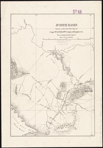
Judith Basin
3110.
Juliacensis, Cliviensis, et Montensis Ducatus, nec non Coloniensis Archiepiscopatus, et alie regiones proxime Rhenum Fluvium...
3111.
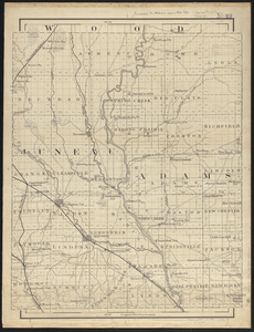
Juneau & Adams Counties, Wis.
3112.
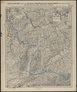
Justus Perthes' karte der Deutsch-Französischen grenzländer von Köln bis Bern und von Metz bis Ulm : mit special-cartons der...
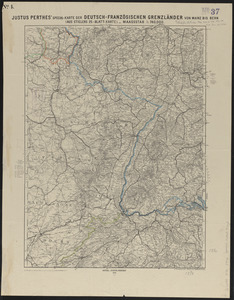
3113.
Justus Perthes' special-karte der Deutsch-Französischen Grenzländer von Mainz bis Bern : (aus Stielers 25-blatt-karte)
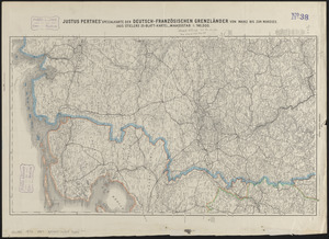
3114.
Justus Perthes' specialkarte der Deutsch-Französischen Grenzländer von Mainz bis zur Nordsee : (aus Stielers 25-blatt-karte)
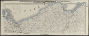
3115.
Justus Perthes' specialkarte der norddeutschen küstenländer von der I. Rügen bis Königsberg : (aus Stielers 25-blatt-karte)
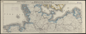
3116.
Justus Perthes' specialkarte der norddeutschen küstenländer von Emden & Borkum bis zur insel Rügen : (aus Stielers...
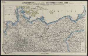
3117.
Justus Perthes' übersichtskarte der norddeutschen küstenländer von Emden und Borkum bis Königsberg und Memel
3118.
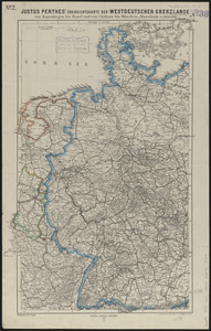
Justus Perthes' übersichtskarte der Westdeutschen grenzlande von Kopenhagen bis Basel und von Chalons bis München
3119.
Justus Perthes' übersichtskarte vom nordöstlichen Frankreich bis Paris &c
3120.
Kaart van Nieuw Nederland : behoorende tot de door het Provinciaal Utrechtsch genootschap bekroonde verhandeling
‹ Prev
Next ›
1
2
…
152
153
154
155
156
157
158
159
160
…
438
439
![Johnson's new illustrated family atlas of the world, with physical geography, and with descriptions geographical, statistical, and historical, including the latest federal census, and the existing religious denominations in the world [frontispiece]](https://bpldcassets.blob.core.windows.net/derivatives/images/commonwealth:0r96fp61c/image_thumbnail_300.jpg)