Toggle navigation
LMEC Home
Exhibitions
Georeferencing
Tools for Teachers
Collections
My Favorites
Sign Up / Log In
Search
Search the map portal
Map Collection
Map Collection
Map Sets
Search
Search
Search for
Search In
All Fields
Creator
Title
Subject
Place
Search All Digital Collections
Advanced Search
621 Results
My Search
Start Over
More Like
commonwealth:6q188644j
Remove constraint More Like: commonwealth:6q188644j
Filter your Search
Place
North and Central America
491
United States
249
North America
240
Canada
76
West Indies
60
New York
26
Asia
19
Pennsylvania
18
more
Place
»
Topic
North America--Maps--Early works to 1800
240
West Indies--Maps--Early works to 1800
63
United States--Maps--Early works to 1800
58
Canada--Maps--Early works to 1800
50
Great Britain--Colonies--America--Maps--Early works to 1800
22
Caribbean Area--Maps--Early works to 1800
17
Great Lakes Region (North America)--Maps--Early works to 1800
14
Northeastern States--Maps--Early works to 1800
12
more
Topic
»
Date
Date range begin
–
Date range end
Current results range from
1528
to
1999
View distribution
Creator
Jefferys, Thomas, -1771
32
Sayer, Robert, 1725-1794
23
Mitchell, John, 1711-1768
22
Gibson, J. (John), active 1750-1792
18
Anville, Jean Baptiste Bourguignon d', 1697-1782
17
Bellin, Jacques Nicolas, 1703-1772
17
Moll, Herman, d. 1732
15
Robert Sayer and John Bennett (Firm)
15
more
Creator
»
Format
Maps/Atlases
619
Manuscripts
8
Paintings
3
Ephemera
1
Objects/Artifacts
1
Prints
1
Georeferenced
Yes
14
No
607
Collection
American Revolutionary War-Era Maps
475
MacLean Collection Map Library
379
Norman B. Leventhal Map & Education Center Collection
166
New York Public Library Collection
34
Richard H. Brown Revolutionary War Map Collection at Mount Vernon
20
Maritime Charts and Atlases
12
Mapping Boston Collection
10
Sidney R. Knafel Map Collection at Phillips Academy
8
more
Collection
»
Available to use
No known restrictions
160
Creative Commons license
69
Search Constraints
Sort by relevance
relevance
title
date (asc)
date (desc)
Number of results to display per page
20 per page
10
per page
20
per page
50
per page
100
per page
View results as:
grid view
map view
Search Results
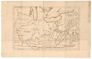
481.
Map of the western parts of the colony of Virginia as far as the Mississipi
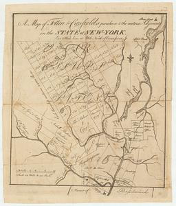
482.
A map of Tottin & Crosfields purchase & the waters adjacent in the state of New-York
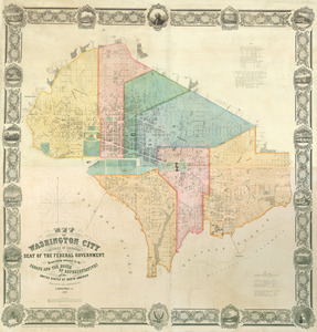
483.
Map of Washington City
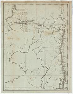
484.
Map of western New York state, marking land plots around Lac Oneida
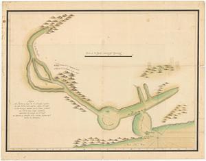
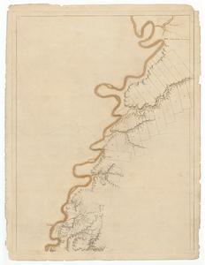
485.
Mapa del puerto y rio de S.n Francisco explorado por tierra en el mes de Marzo del presen te ano de 1772
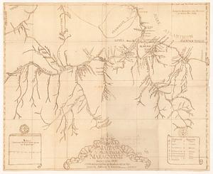
486.
Mappa V - Provinciae Maragnonii Societatis Jesu cum adjacentibus quibusdam terris Hispanorum, Gallorum & Batavorum
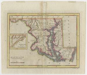
487.
Maryland
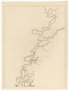
488.
Mississippi River, from Iberville to Yazous
489.
Mississippi River, from Iberville to Yazous
490.
Mukden-i dedun uden-i nirugan
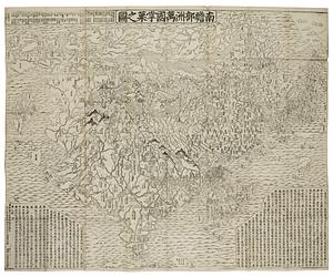
491.
Nansenbushu bankoku shoka no zu
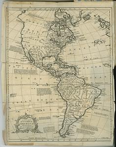
492.
A new and accurate map of America, drawn from the most approv'd maps & charts
493.
A new and accurate map of North America : (wherein the errors of all preceeding British, French and Dutch maps, respecting the...
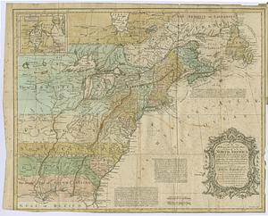
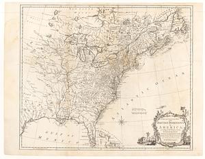
494.
A new and accurate map of the British dominions in America, according to the treaty of 1763 : divided into the several...
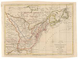
495.
A new and correct map of North America in which the places of the principal engagements during the present war, are accurately...
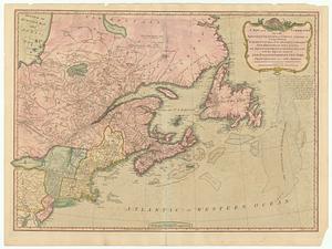
496.
A new and correct map of the British colonies in North America : comprehending eastern Canada with the province of Quebec, New...
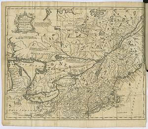
497.
A new and correct map of the provinces of New England, New York, Canada or New France
498.
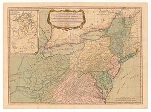
A new and general map of the middle dominions belonging to the United States of America, viz. Virginia, Maryland, the...
499.
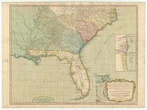
A new and general map of the southern dominions belonging to the United States of America, viz: North Carolina, South Carolina...
500.
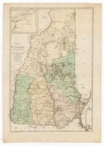
New Hampshire
‹ Prev
Next ›
1
2
…
21
22
23
24
25
26
27
28
29
…
31
32