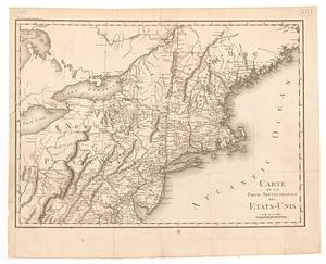
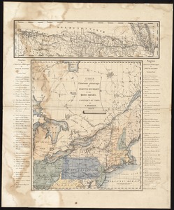
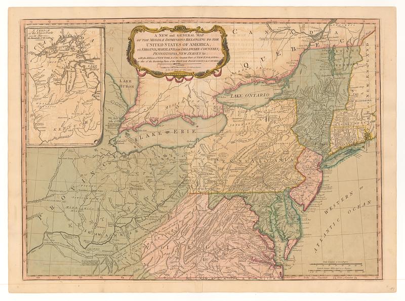
A new and general map of the middle dominions belonging to the United States of America, viz. Virginia, Maryland, the Delaware-counties, Pennsylvania, New Jersey &c. : with the addition of New York, & of the greatest part of New England &c. as also of the bordering parts of the British possessions in Canada
This map is also available in American Revolutionary Geographies Online (ARGO), a collections portal especially built for material relating to the American Revolutionary War Era. Visit ARGO to learn more about this item and explore the historical geography of North America in the late eighteenth century.
Item Information
- Title:
- A new and general map of the middle dominions belonging to the United States of America, viz. Virginia, Maryland, the Delaware-counties, Pennsylvania, New Jersey &c. : with the addition of New York, & of the greatest part of New England &c. as also of the bordering parts of the British possessions in Canada
- Contributor:
- Evans, Lewis, 1700?-1756
- Publisher:
- Laurie & Whittle
- Date:
-
May 12, 1794
- Format:
-
Maps/Atlases
- Location:
- MacLean Collection Map Library
- Collection (local):
-
MacLean Collection Map Library
- Subjects:
-
Northeastern States--Maps
- Places:
-
Northeastern United States (area)
- Extent:
- 1 map ; 458 x 642 mm
- Terms of Use:
-
Public Domain/No known restrictions on use. Contact host institution to download image.
Contact host institution for more information.
- Publisher:
-
London :
Published by Laurie & Whittle, n.o 53, Fleet Street
- Language:
-
English
- Identifier:
-
MC_4975
- Call #:
-
4975