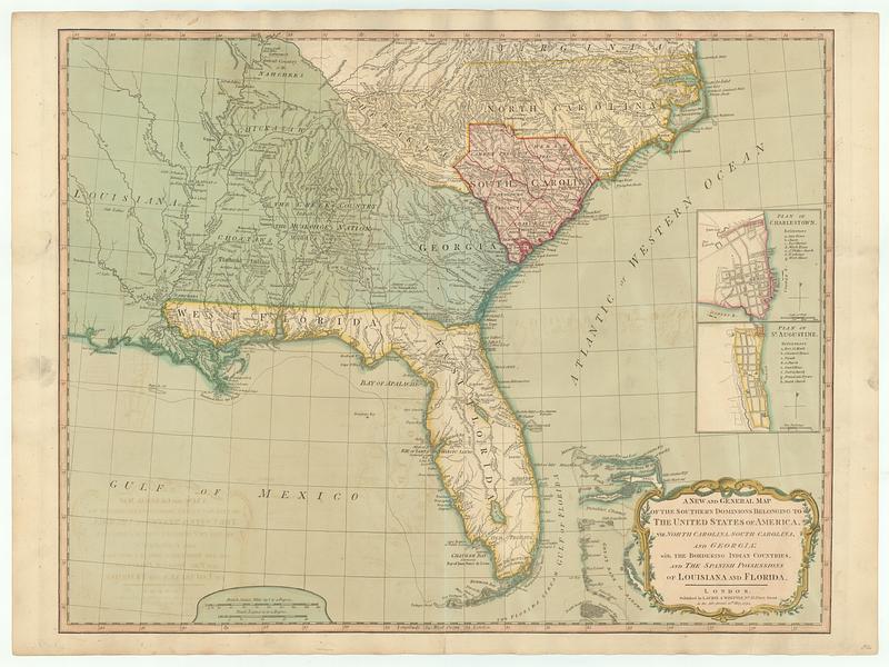
A new and general map of the southern dominions belonging to the United States of America, viz: North Carolina, South Carolina and Georgia: with the bordering Indian countries, and the Spanish possessions of Louisiana and Florida
This map is also available in American Revolutionary Geographies Online (ARGO), a collections portal especially built for material relating to the American Revolutionary War Era. Visit ARGO to learn more about this item and explore the historical geography of North America in the late eighteenth century.
Item Information
- Title:
- A new and general map of the southern dominions belonging to the United States of America, viz: North Carolina, South Carolina and Georgia: with the bordering Indian countries, and the Spanish possessions of Louisiana and Florida
- Contributor:
- Robert Sayer and John Bennett (Firm)
- Publisher:
- Laurie & Whittle
- Date:
-
May 12, 1794
- Format:
-
Maps/Atlases
- Location:
- MacLean Collection Map Library
- Collection (local):
-
MacLean Collection Map Library
- Subjects:
-
Indians of North America--Southern States--Maps--Early works to 1800
Southern States--Maps--Early works to 1800
Charleston (S.C.)--Maps--Early works to 1800
Saint Augustine (Fla.)--Maps--Early works to 1800
- Places:
-
Southern United States (area)
South CarolinaCharleston (county)Charleston
FloridaSaint Johns (county)Saint Augustine
- Extent:
- 1 map ; 477 x 616 mm
- Terms of Use:
-
Public Domain/No known restrictions on use. Contact host institution to download image.
Contact host institution for more information.
- Publisher:
-
London :
Published by Laurie & Whittle, n.o 53, Fleet Street
- Language:
-
English
- Identifier:
-
MC_5009
- Call #:
-
5009


![[Map of Florida, Carolina, and the Gulf Coast]](https://bpldcassets.blob.core.windows.net/derivatives/images/commonwealth:z603vr379/image_thumbnail_300.jpg)
