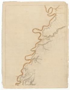
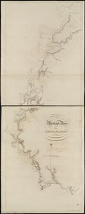
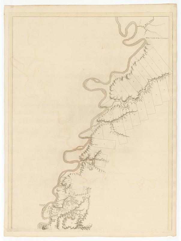
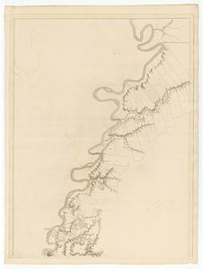
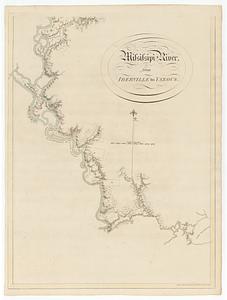
Mississippi River, from Iberville to Yazous
This map is also available in American Revolutionary Geographies Online (ARGO), a collections portal especially built for material relating to the American Revolutionary War Era. Visit ARGO to learn more about this item and explore the historical geography of North America in the late eighteenth century.
Item Information
- Title:
- Mississippi River, from Iberville to Yazous
- Publisher:
- Des Barres, Joseph F. W. (Joseph Frederick Wallet), 1729-1824
- Date:
-
January 1, 1779
- Format:
-
Maps/Atlases
- Location:
- MacLean Collection Map Library
- Collection (local):
-
MacLean Collection Map Library
- Subjects:
-
Mississippi River--Maps--Early works to 1800
- Places:
-
Mississippi River
- Extent:
- 2 maps ; 798 x 606 mm and 792 x 601 mm
- Terms of Use:
-
Public Domain/No known restrictions on use. Contact host institution to download image.
Contact host institution for more information.
- Publisher:
-
London :
J.F.W. Des Barres esq.r
- Edition:
- First state
- Language:
-
English
- Identifier:
-
MC_341
- Call #:
-
341