Toggle navigation
LMEC Home
Exhibitions
Georeferencing
Tools for Teachers
Collections
My Favorites
Sign Up / Log In
Search
Search the map portal
Map Collection
Map Collection
Map Sets
Search
Search
Search for
Search In
All Fields
Creator
Title
Subject
Place
Search All Digital Collections
Advanced Search
8785 Results
My Search
Start Over
More Like
commonwealth:6h447013g
Remove constraint More Like: commonwealth:6h447013g
Filter your Search
Place
North and Central America
6,016
United States
4,934
Massachusetts
2,089
Europe
1,396
Suffolk (county)
1,136
Boston
1,109
Canada
449
Asia
438
more
Place
»
Topic
Boston (Mass.)--Maps
606
United States--Maps
282
Real property--Massachusetts--Boston--Maps
254
Landowners--Massachusetts--Boston--Maps
170
Massachusetts--Maps
162
City planning--Massachusetts--Boston--Maps
118
North America--Maps--Early works to 1800
103
New England--Maps
102
more
Topic
»
Date
Date range begin
–
Date range end
Current results range from
1482
to
2023
View distribution
Creator
United States. Hydrographic Office
595
O.H. Bailey & Co
148
Des Barres, Joseph F. W. (Joseph Frederick Wallet), 1722-1824
123
Boston Redevelopment Authority
121
United States. Post Office Dept
120
Ptolemy, 2nd cent
100
Walling, Henry Francis, 1825-1888
94
Geological Survey (U.S.)
86
more
Creator
»
Format
Maps/Atlases
8,725
Manuscripts
215
Prints
56
Books
36
Objects/Artifacts
10
Drawings/Illustrations
8
Posters
5
Georeferenced
Yes
869
No
7,916
Collection
Norman B. Leventhal Map & Education Center Collection
8,696
Boston and New England Maps
2,288
Urban Maps
2,078
Maritime Charts and Atlases
1,083
American Revolutionary War-Era Maps
616
Boston Redevelopment Authority Collection
141
Massachusetts Real Estate Atlases
35
Applied Geographics, Inc. Records
1
Available to use
No known restrictions
8,608
Creative Commons license
47
Search Constraints
Sort by relevance
relevance
title
date (asc)
date (desc)
Number of results to display per page
20 per page
10
per page
20
per page
50
per page
100
per page
View results as:
grid view
map view
Search Results
3541.
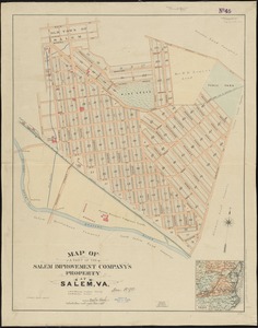
Map of a part of the Salem Improvement Company's property at Salem, Va
3542.
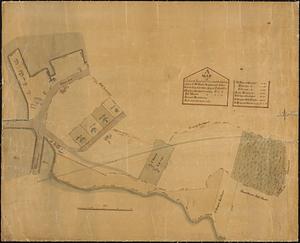
A map of a piece of land and wharf and the buildings thereon of Mr. Samuel Sprague's and Jotham Lincoln Esq. and others lying...
3543.
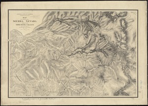
Map of a portion of the Sierra Nevada adjacent to the Yosemite Valley
3544.
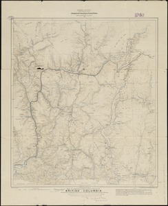
Map of a portion of the southern Interior of British Columbia : embodying the explorations made in 1877 by G.M. Dawson, and in...
3545.
Map of a reconnaissance from Carroll Montana Ter. to the Yellowstone National Park and return by Captain William Ludlow, Corps...
3546.
Map of a tour from Independence to Santa Fé, Chihuahua, Monterey and Matamoros
3547.
Map of a woman's heart
3548.
Map of Adams Co., Pa
3549.
Map of Addison County, Vermont
3550.
Map of Africa : and adjoining portions of Europe and Asia
3551.
Map of Akron, Ohio : prepared for Akron Chamber of Commerce
3552.
Map of Alabama, showing location of property owned by the Fort Payne Coal & Iron Company
3553.
Map of Alaska
3554.
Map of Alaska : showing latest explorations by U.S. Geological Survey and U.S. Coast and Geodetic Survey
3555.
Map of Alaska
3556.
Map of Alaska
3557.
Map of all the railroads in the United States in operation and progress
3558.
Map of Allegany Co., N.Y : from actual surveys
3559.
A map of America between latitudes 40 and 70 north and longitudes 45 and 180 west, exhibiting Mackenzie's track from Montreal...
3560.
A map of Amherst with a view of the college and Mount Pleasant Institution
‹ Prev
Next ›
1
2
…
174
175
176
177
178
179
180
181
182
…
439
440