Toggle navigation
LMEC Home
Exhibitions
Georeferencing
Tools for Teachers
Collections
My Favorites
Sign Up / Log In
Search
Search the map portal
Map Collection
Map Collection
Map Sets
Search
Search
Search for
Search In
All Fields
Creator
Title
Subject
Place
Search All Digital Collections
Advanced Search
8774 Results
My Search
Start Over
More Like
commonwealth:6h446z58f
Remove constraint More Like: commonwealth:6h446z58f
Filter your Search
Place
North and Central America
6,005
United States
4,923
Massachusetts
2,089
Europe
1,396
Suffolk (county)
1,125
Boston
1,098
Canada
449
Asia
438
more
Place
»
Topic
Boston (Mass.)--Maps
606
United States--Maps
282
Real property--Massachusetts--Boston--Maps
254
Landowners--Massachusetts--Boston--Maps
170
Massachusetts--Maps
162
City planning--Massachusetts--Boston--Maps
108
North America--Maps--Early works to 1800
103
New England--Maps
102
more
Topic
»
Date
Date range begin
–
Date range end
Current results range from
1482
to
2023
View distribution
Creator
United States. Hydrographic Office
595
O.H. Bailey & Co
148
Des Barres, Joseph F. W. (Joseph Frederick Wallet), 1722-1824
123
United States. Post Office Dept
120
Boston Redevelopment Authority
111
Ptolemy, 2nd cent
100
Walling, Henry Francis, 1825-1888
94
Geological Survey (U.S.)
86
more
Creator
»
Format
Maps/Atlases
8,714
Manuscripts
215
Prints
56
Books
36
Objects/Artifacts
10
Drawings/Illustrations
8
Posters
5
Georeferenced
Yes
869
No
7,905
Collection
Norman B. Leventhal Map & Education Center Collection
8,696
Boston and New England Maps
2,277
Urban Maps
2,067
Maritime Charts and Atlases
1,083
American Revolutionary War-Era Maps
616
Boston Redevelopment Authority Collection
130
Massachusetts Real Estate Atlases
35
Applied Geographics, Inc. Records
1
Available to use
No known restrictions
8,597
Creative Commons license
47
Search Constraints
Sort by relevance
relevance
title
date (asc)
date (desc)
Number of results to display per page
20 per page
10
per page
20
per page
50
per page
100
per page
View results as:
grid view
map view
Search Results
6381.
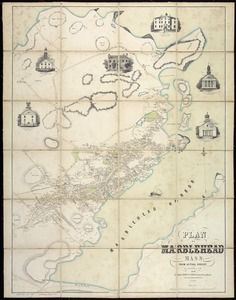
Plan of Marblehead, Mass. from actual survey
6382.
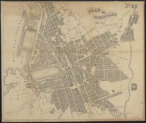
Plan of Marseilles
6383.
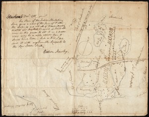
Plan of Mashpee
6384.
Plan of Mayflower Park situated in the town of Braintree owned by the Braintree Land Associates
6385.
Plan of Middlesex County, Massachusetts
6386.
Plan of Milton Cemetery
6387.
Plan of modern Rome
6388.
Plan of modern Rome
6389.
Plan of Mount Auburn
6390.
Plan of Mount Hope Cemetery : including the City Cemetery belonging to the City of Boston and situated in West Roxbury &...
6391.
Plan of Mount Hope Cemetery belonging to the City of Boston
6392.
Plan of Mystic River showing the Harbor Commissioners lines : Dec. 1854
6393.
Plan of Nashua River from Lancaster Mills to S. Harris
6394.
Plan of Neponset River and part of Dorchester Bay showing the harbor lines proposed by the Commissioners 1854
6395.
Plan of New Orleans the capital of Louisiana : with the disposition of its quarters and canals as they have been traced by Mr....
6396.
Plan of New Orleans the capital of Louisiana : with the disposition of its quarters and canals as they have been traced by Mr....
6397.
Plan of New Orleans the capital of Louisiana
6398.
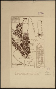
Plan of New York
6399.
A plan of New York Island, part of Long Island &c. shewing the position of the American and British Armies, before, at, and...
6400.
A plan of New York Island, with part of Long Island, Staten Island & east New Jersey, with a particular description of the...
‹ Prev
Next ›
1
2
…
316
317
318
319
320
321
322
323
324
…
438
439